Approximate Location Map
Use two fingers to pan or zoom the map
Use two fingers to pan or zoom the map
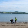
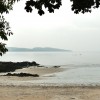
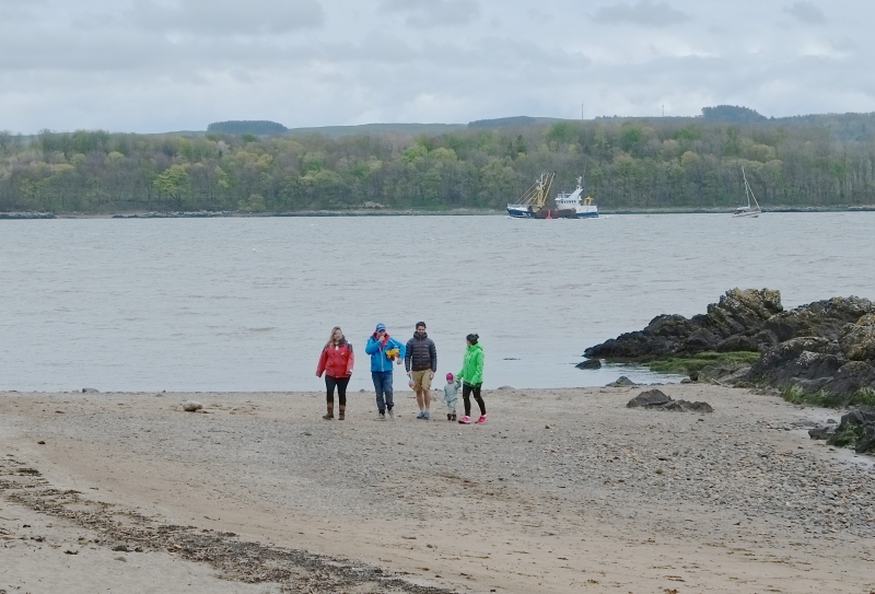
Dhoon Beach is situated at the mouth of the River Dee, within Nun Mill Bay. The beach is a small, sandy stretch that backs onto a wooded area and looks out onto Nun Mill Bay on the Dee estuary. The water is relatively shallow, and there are plenty of rock pools which can be fun to explore.
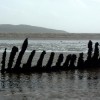
The tidal range at Dhoon Beach can be very high, with frequent ranges of up to 10 metres between high and low tide. At low tide, large areas of sand and some patches of mud are exposed, and it is possible to see the wreck of the “Monreith”, a two-mast wooden schooner which was wrecked here in 1900. Fortunately, the crew managed to reach the shore and there were no known casualties.
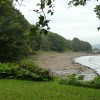
Behind the beach, there is a large grassy area that makes a good spot for a picnic. There is also parking available, with direct access to the beach and public toilets. The beach is easily reached by car, lying next to the B727 south west of Kirkcudbright. The area is popular for walking, with the Senwick Shore walk easily accessed from the beach to the south of the car park. Galloway Forest Park is also nearby.
A good range of facilities can be found a short drive away in the town of Kirkcudbright to the north of the beach. As well as shops, restaurants, and places to stay, a number of interesting museums can be found in the historic town.
Bay Sand Rock
| Today |  |
|---|---|
| Chance of rain | 100% |
| Max temperature | 15°C |
| feels like | 15°C |
| Wind 22mph |  |
| Max UV Index |  |
| Tonight | |
|---|---|
| Chance of rain | 100% |
| Min temperature | 11°C |
| feels like | 7°C |
| Wind 31mph |  |
The tide at Dhoon Beach is currently falling. Low tide will be at approximately 5:36 PM, and the next high tide will be at approximately 11:20 PM.
Detailed weather and tides »Parking available next to the beach.
No lifeguard cover at this beach

Sufficient water quality
around 2 miles south-southwest as the seagull flies, around 3 miles by road.
around 5 miles west-northwest as the seagull flies, around 7 miles by road.
around 7 miles west-northwest as the seagull flies, around 13 miles by road.
around 12 miles east-northeast as the seagull flies, around 23 miles by road.
around 15 miles east-northeast as the seagull flies, around 23 miles by road.
around 19 miles west-southwest as the seagull flies, around 43 miles by road.
around 20 miles east-northeast as the seagull flies, around 30 miles by road.
around 23 miles east-southeast as the seagull flies, around 98 miles by road.
around 24 miles east-southeast as the seagull flies, around 99 miles by road.
around 24 miles east-southeast as the seagull flies, around 93 miles by road.
around 26 miles east as the seagull flies, around 91 miles by road.
around 26 miles southeast as the seagull flies, around 101 miles by road.
around 26 miles east as the seagull flies, around 88 miles by road.
around 27 miles southeast as the seagull flies, around 102 miles by road.
around 28 miles east as the seagull flies, around 88 miles by road.
around 29 miles east as the seagull flies, around 87 miles by road.
around 30 miles southeast as the seagull flies, around 108 miles by road.
Location: Millhall
Location type: Village
Nearest village: Borgue
OS Grid: NX657486
Coordinates: 54°48'53"N 4°5'25"W
Mapcode: GBR JH8Z.H22
What 3 Words: trailing.both.marmalade
Coordinates and location codes are for an approximate mid-point of the beach, and may not reflect the best access point or the most popular part of the beach.
Country: Scotland
Local Authority: Dumfries and Galloway
Nearest postcode: DG6 4TQ
(for sat-nav purposes only, a beach does not have a postal address!)
Important! Beach information is compiled from a variety of different sources and is correct to the best of our knowledge at the time of compilation. However, information may be incorrectly supplied by our sources or go out of date after publication. BritishBeaches.uk makes no warranty as to the accuracy of any information on this page.