Approximate Location Map
Use two fingers to pan or zoom the map
Use two fingers to pan or zoom the map
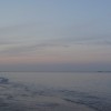
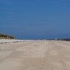
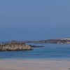
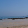
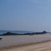
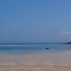
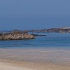
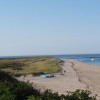
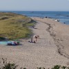
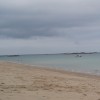
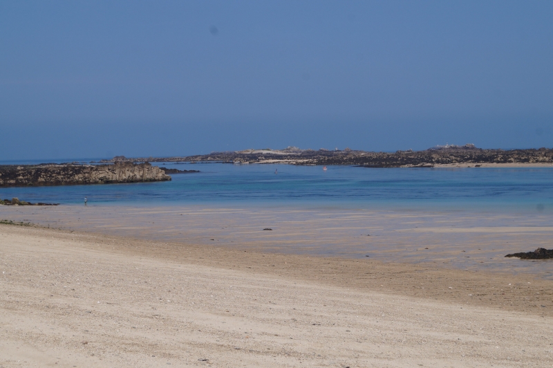
Shell Beach is situated on the east coast of Herm Island, just off the coast of Guernsey. The beach is characterised by its golden sand, which is uniquely formed from tiny shell fragments that sparkle in the sunshine. The beach offers ample space for various activities, including playing, sunbathing, and relaxation.
A beach cafe is available at Shell Beach from early April until the end of September, providing a range of snacks, toys, beach games, postcards, and ice creams. Visitors can also explore the interesting rock pools that are exposed at low tide. The beach offers a variety of activities and amenities, making it an ideal destination for families and individuals alike.
Bay Sand
| Tonight |  |
|---|---|
| Chance of rain | % |
| Min temperature | 14°C |
| feels like | 15°C |
| Wind 13mph |  |
| Tomorrow |
 |
|---|---|
| Chance of rain | % |
| Max temperature | 17°C |
| feels like | 16°C |
| Wind 12mph |  |
| Max UV Index |  |
The tide at Shell Beach is currently falling. Low tide will be at approximately 3:20 AM tomorrow, and the next high tide will be at approximately 9:15 AM tomorrow.
 Today's air pollution levels are forecast to be Low
 Food available
 Shops
Shops
 Litter bins
There are no cars on Herm, but parking is available in Guernsey at the North beach car park prior to boarding the 20 minute Travel Trident Ferry to Herm Island. Belvoir Bay is then a 15 minute walk.
Dogs not permitted 1st May until 30th September.
No lifeguard cover at this beach
around 3 miles west-northwest as the seagull flies, less than a mile by road.
around 4 miles west-northwest as the seagull flies, around 2 miles by road.
around 4 miles west-southwest as the seagull flies, around 4 miles by road.
around 4 miles west-northwest as the seagull flies, around 2 miles by road.
around 5 miles southwest as the seagull flies, around 5 miles by road.
around 6 miles west as the seagull flies, around 4 miles by road.
around 6 miles southwest as the seagull flies, around 7 miles by road.
around 6 miles west as the seagull flies, around 4 miles by road.
around 7 miles west as the seagull flies, around 5 miles by road.
around 7 miles west-southwest as the seagull flies, around 8 miles by road.
around 7 miles west as the seagull flies, around 6 miles by road.
around 9 miles west-southwest as the seagull flies, around 8 miles by road.
around 10 miles west-southwest as the seagull flies, around 10 miles by road.
around 18 miles south-southeast as the seagull flies, around 43 miles by road.
around 19 miles north-northeast as the seagull flies, around 57 miles by road or 35 miles on foot using coastal paths.
around 20 miles southeast as the seagull flies, around 42 miles by road.
around 20 miles north-northeast as the seagull flies, around 56 miles by road or 34 miles on foot using coastal paths.
around 20 miles north-northeast as the seagull flies, around 56 miles by road or 33 miles on foot using coastal paths.
around 21 miles northeast as the seagull flies, around 57 miles by road or 35 miles on foot using coastal paths.
around 21 miles northeast as the seagull flies, around 57 miles by road or 35 miles on foot using coastal paths.
Location: Herm
Coordinates: 49°28'44"N 2°26'52"W
Mapcode: GGY DR.MTR
What 3 Words: shepherdess.achievers.understand
Coordinates and location codes are for an approximate mid-point of the beach, and may not reflect the best access point or the most popular part of the beach.
County: Herm
Country: Channel Islands
Important! Beach information is compiled from a variety of different sources and is correct to the best of our knowledge at the time of compilation. However, information may be incorrectly supplied by our sources or go out of date after publication. BritishBeaches.uk makes no warranty as to the accuracy of any information on this page.