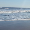
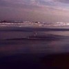
a smooth surf
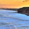
Uploaded by kenneth flint on 21 January 2014
Uploaded by kenneth flint on 21 January 2014
 Photo © kenneth flint , 21 January 2014.
Licensed for reuse under this Creative Commons licence
Photo © kenneth flint , 21 January 2014.
Licensed for reuse under this Creative Commons licence
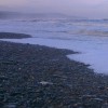
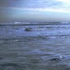
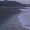
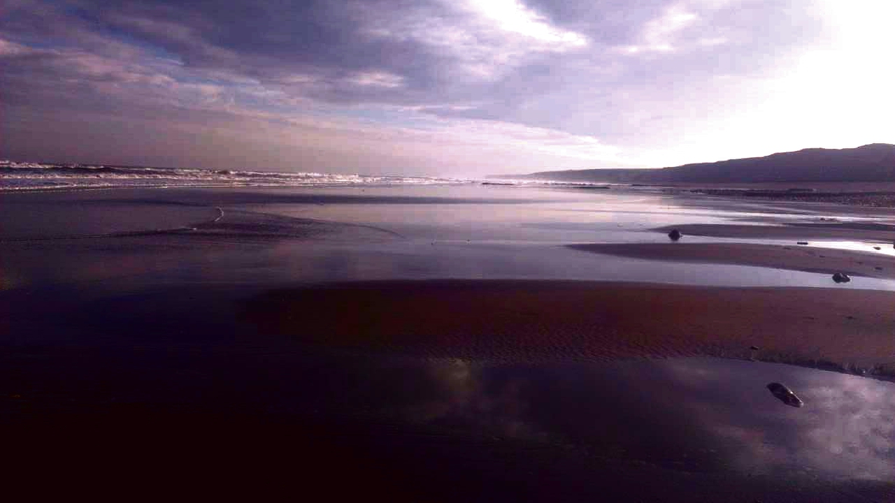
Location: Blackhall Rocks
Location type: Urban
OS Grid: NZ469394
Coordinates: 54°44'50"N 1°16'19"W
Mapcode: GBR MFKJ.DZ
What 3 Words: teach.drooling.grounded
Coordinates and location codes are for an approximate mid-point of the beach, and may not reflect the best access point or the most popular part of the beach.
Country: England
Local Authority: County Durham
Parish: Monk Hesleden
Nearest postcode: TS27 4AT
(for sat-nav purposes only, a beach does not have a postal address!)