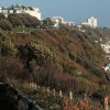
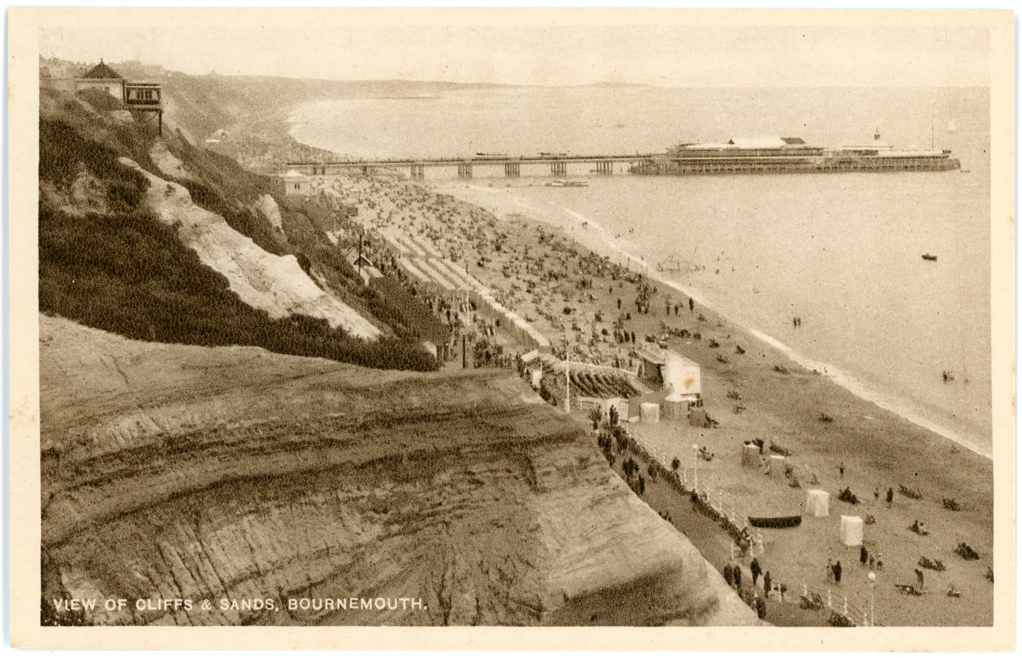
Bournemouth Pier, West Undercliff Promenade and West Cliff Lift, Bournemouth, Dorset
Uploader's Comments
Published by the B P Co., Ltd., London.
Postally unused.
One of a set of twenty-four postcards donated to Bournemouth Civic Society by Michael Rogers, Diocesan Archivist of the Anglican Church of South Queensland - having been collected by a former Archbishop who visited Bournemouth in the 1930's, scanned here with the images curated for online access, prior to donation to Bournemouth Libraries.
Uploaded to Flickr by Alwyn Ladell on 20 November 2019