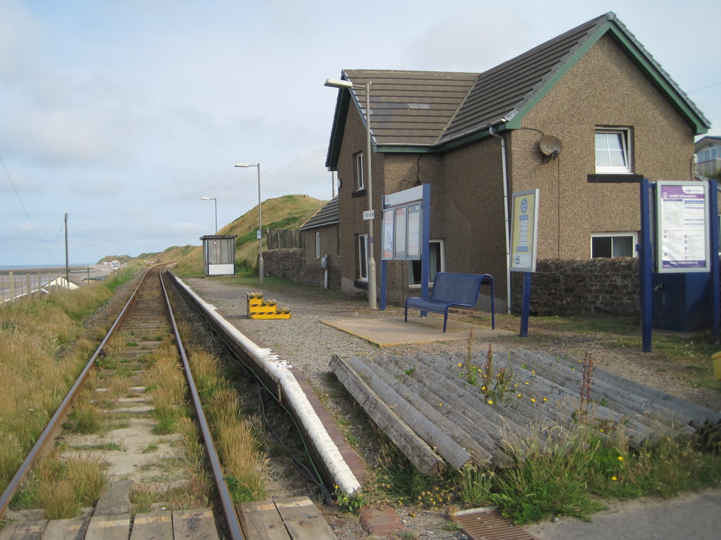
Opened in 1849 by the Whitehaven & Furness Junction Railway on the line from Barrow-in-Furness to Carlisle. View north west towards Nethertown and Carlisle.
Uploaded to Geograph by Nigel Thompson on 14 July 2013
Photo © Nigel Thompson, 14 July 2013.
Licensed for reuse under this Creative Commons licence
Location: Braystones
Location type: Village
OS Grid: NY000059
Coordinates: 54°26'20"N 3°32'31"W
Mapcode: GBR 3KP3.YJ
What 3 Words: highways.aimless.jots
Coordinates and location codes are for an approximate mid-point of the beach, and may not reflect the best access point or the most popular part of the beach.
County: Cumbria
Country: England
Local Authority: Copeland
Parish: Lowside Quarter
Nearest postcode: CA21 2YL
(for sat-nav purposes only, a beach does not have a postal address!)