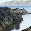
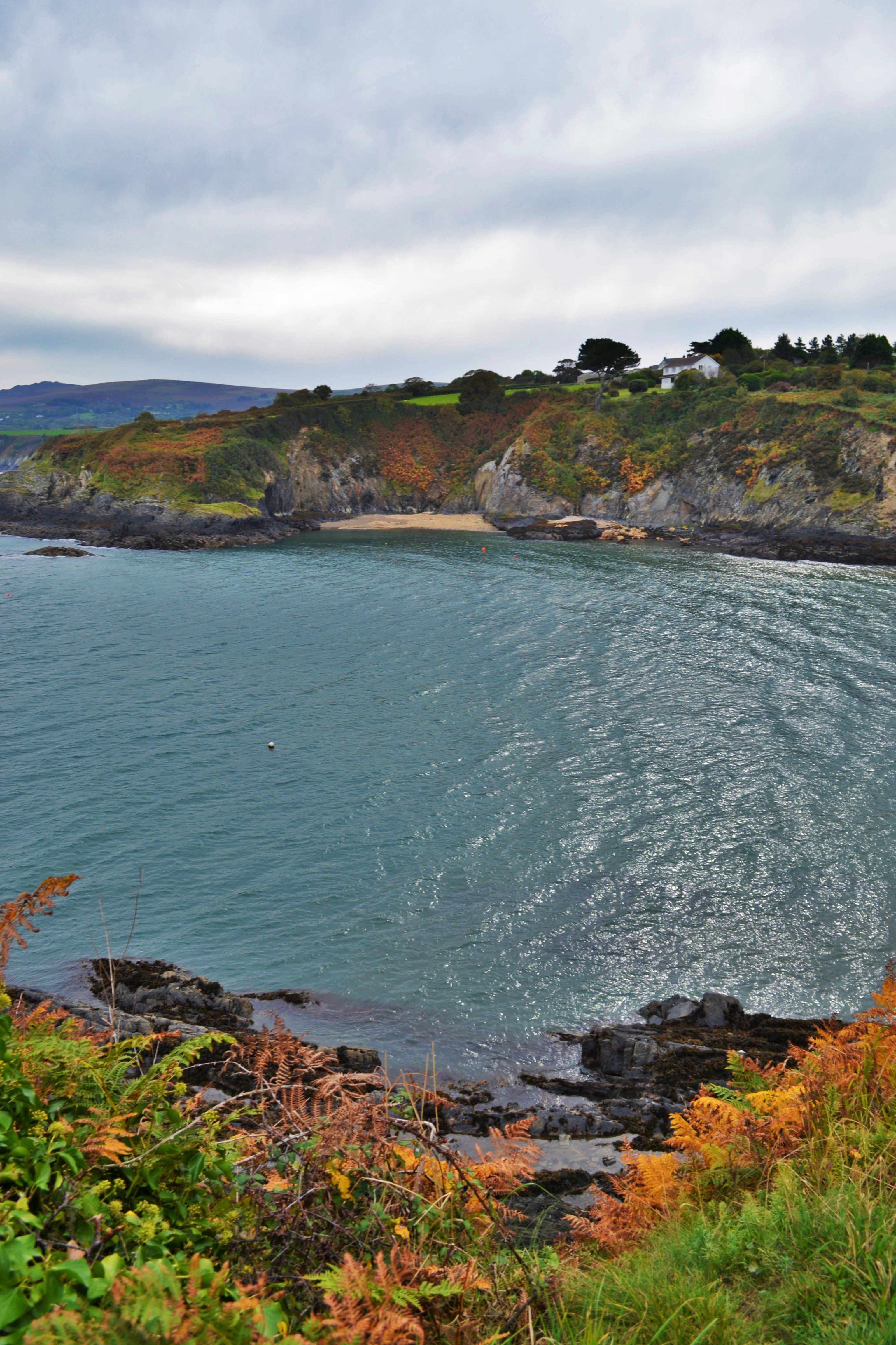
Looking To Trwyn Isaf
Uploader's Comments
From the coast path at Dinas Island and before the last descent into Cwm yr Eglwys (Valley of the Church)
Uploaded to Geograph by Deborah Tilley on 10 October 2015
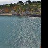
From the coast path at Dinas Island and before the last descent into Cwm yr Eglwys (Valley of the Church)
Uploaded to Geograph by Deborah Tilley on 10 October 2015
 Photo © Deborah Tilley, 10 October 2015.
Licensed for reuse under this Creative Commons licence
Photo © Deborah Tilley, 10 October 2015.
Licensed for reuse under this Creative Commons licence
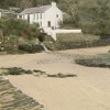
Location: Cwm-yr-Eglwys
Location type: Village
Nearest village: Dinas Cross
OS Grid: SN015400
Coordinates: 52°1'24"N 4°53'37"W
Mapcode: GBR CP.GLSQ
What 3 Words: doubt.national.pimples
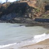
Coordinates and location codes are for an approximate mid-point of the beach, and may not reflect the best access point or the most popular part of the beach.
Country: Wales
Local Authority: Pembrokeshire
Parish: Dinas Cross
Nearest postcode: SA42 0SL
(for sat-nav purposes only, a beach does not have a postal address!)