Approximate Location Map
Use two fingers to pan or zoom the map
Use two fingers to pan or zoom the map
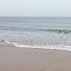
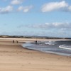
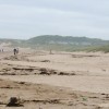
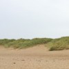
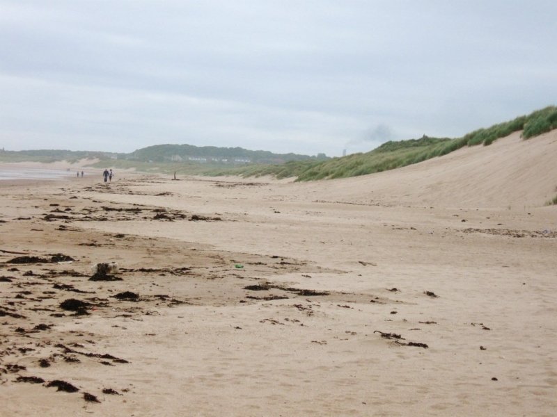
Druridge Bay South Beach is a privately owned, long, wide sandy bay that stretches from Amble in the north to Cresswell in the south. The beach is noted for its unofficial nudist section, situated between the Northumberland Coast Country Park and the National Trust property. The bay is characterised by its shallow waters and extensive dunes, surrounded by meadows, woodland, and lakes.
The southern edge of Druridge Bay is home to Cresswell beach, which boasts one of the best sandy beaches on the Northumberland coast. The gently sloping sand is backed by extensive sand dunes and offers a seemingly endless stretch at low tide. At low tide, a few rocky patches are exposed, providing excellent rockpooling opportunities. Cresswell beach is generally unspoilt and quiet, except during the peak summer months.
Walking south along the beach from Druridge Bay, you arrive at Cresswell beach, which marks the beginning of the Northumbrian Coastal Route, a 62-mile path that stretches to Berwick on Tweed. The surrounding area is rural and unspoilt, with a cafe providing refreshments and a car park on the beach front. Further south along the coast lies Broad Sands Rocks, a smaller, partially rocky beach backed by a holiday park.
The beaches in the Druridge Bay South area are dog-friendly all year round, making them ideal for long walks with your pet. The headland in front of Cresswell features some rocks, particularly at low tide. While the beaches are generally quiet, they offer a range of activities, including rockpooling and walking.
Druridge Bay South Beach is on the North Northumberland Heritage Coast, and adjacent to the Northumberland Coast Path.
Sand
| Today |  |
|---|---|
| Chance of rain | 100% |
| Max temperature | 13°C |
| feels like | 13°C |
| Wind 19mph |  |
| Max UV Index |  |
| Tonight |  |
|---|---|
| Chance of rain | 38% |
| Min temperature | 14°C |
| feels like | 6°C |
| Wind 22mph |  |
The tide at Druridge Bay South Beach is currently rising. High tide will be at approximately 4:05 PM, and the next low tide will be at approximately 10:10 PM.
Detailed weather and tides » Campsite
 Food available
 Toilets
National Trust Car Park.
Dogs are allowed.
No lifeguard cover at this beach

Good water quality
less than a mile southeast as the seagull flies, less than a mile by road.
just over a mile south-southeast as the seagull flies, around 2 miles by road.
just over a mile north-northwest as the seagull flies, around 2 miles by road.
around 3 miles south-southeast as the seagull flies, around 4 miles by road.
around 4 miles south-southeast as the seagull flies, around 6 miles by road or 4 miles on foot using coastal paths.
around 4 miles north-northwest as the seagull flies, around 9 miles by road or 4 miles on foot using coastal paths.
around 4 miles south-southeast as the seagull flies, around 6 miles by road or 5 miles on foot using coastal paths.
around 4 miles south-southeast as the seagull flies, around 8 miles by road or 5 miles on foot using coastal paths.
around 6 miles north as the seagull flies, around 9 miles by road or 7 miles on foot using coastal paths.
around 6 miles south as the seagull flies, around 11 miles by road.
around 6 miles south as the seagull flies, around 11 miles by road.
around 8 miles north-northwest as the seagull flies, around 11 miles by road.
around 9 miles south-southeast as the seagull flies, around 15 miles by road.
around 10 miles north-northwest as the seagull flies, around 15 miles by road.
around 11 miles south-southeast as the seagull flies, around 17 miles by road.
around 14 miles north as the seagull flies, around 18 miles by road.
around 14 miles south-southeast as the seagull flies, around 20 miles by road.
around 15 miles south-southeast as the seagull flies, around 23 miles by road.
around 15 miles south-southeast as the seagull flies, around 23 miles by road.
around 16 miles south-southeast as the seagull flies, around 23 miles by road.
Location: Cresswell
Location type: Village
OS Grid: NZ289940
Coordinates: 55°14'23"N 1°32'44"W
Mapcode: GBR K7NV.5H
What 3 Words: arch.flamenco.jolt
Coordinates and location codes are for an approximate mid-point of the beach, and may not reflect the best access point or the most popular part of the beach.
Country: England
Local Authority: Northumberland
Parish: Cresswell
Nearest postcode: NE61 5EH
(for sat-nav purposes only, a beach does not have a postal address!)
Important! Beach information is compiled from a variety of different sources and is correct to the best of our knowledge at the time of compilation. However, information may be incorrectly supplied by our sources or go out of date after publication. BritishBeaches.uk makes no warranty as to the accuracy of any information on this page.