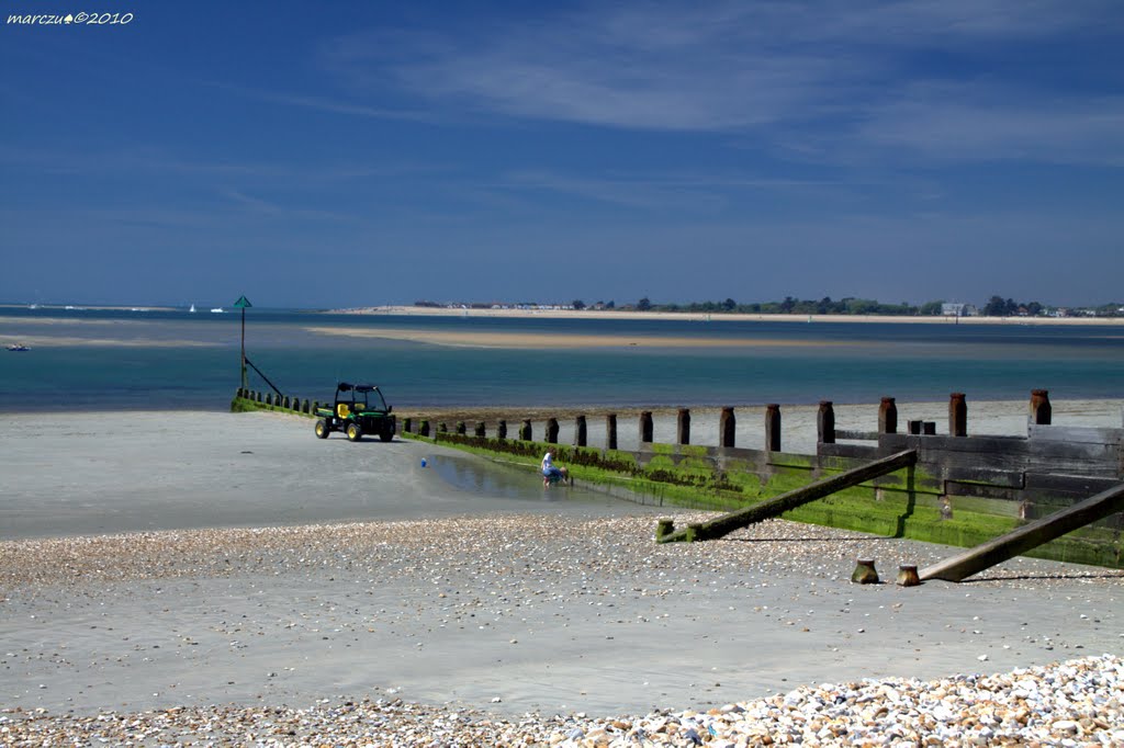
West Wittering?
Uploaded by marczu? on 29 May 2010
Uploaded by marczu? on 29 May 2010
 Photo © marczu?, 29 May 2010.
Licensed for reuse under this Creative Commons licence
Photo © marczu?, 29 May 2010.
Licensed for reuse under this Creative Commons licence
Location: West Wittering
Location type: Town
OS Grid: SZ765992
Coordinates: 50°47'15"N 0°54'53"W
Mapcode: GBR CFV.HJ5
What 3 Words: recorders.cheese.worry
Coordinates and location codes are for an approximate mid-point of the beach, and may not reflect the best access point or the most popular part of the beach.
County: West Sussex
Country: England
Local Authority: Chichester
Parish: West Wittering
Nearest postcode: PO20 8AT
(for sat-nav purposes only, a beach does not have a postal address!)