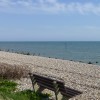
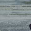
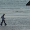
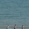
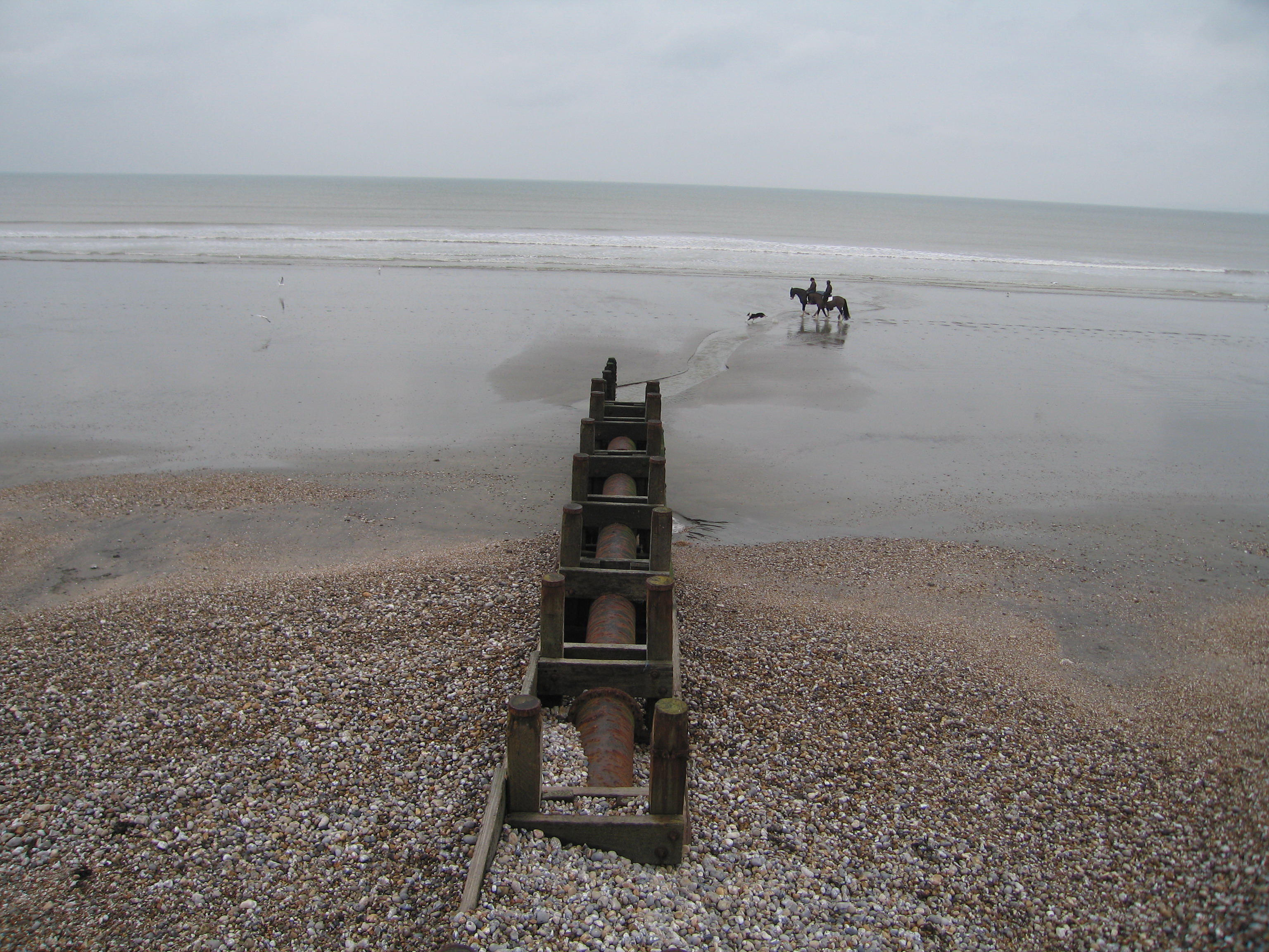
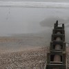
Relaxing stroll along the beach with the photo showing the buildup of beach shingle around the land drainage outflow after strong onshore winds and high tides.
Uploaded to Geograph by Bob Parkes on 28 February 2011
Photo © Bob Parkes, 28 February 2011.
Licensed for reuse under this Creative Commons licence
Location: East Wittering
Location type: Town
OS Grid: SZ793968
Coordinates: 50°45'56"N 0°52'32"W
Mapcode: GBR CG3.TPF
What 3 Words: cosmic.flush.gentle
Coordinates and location codes are for an approximate mid-point of the beach, and may not reflect the best access point or the most popular part of the beach.
County: West Sussex
Country: England
Local Authority: Chichester
Parish: East Wittering
Nearest postcode: PO20 8DU
(for sat-nav purposes only, a beach does not have a postal address!)