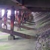
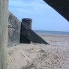
Coastal concrete curves
Uploader's Comments
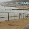
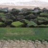
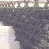
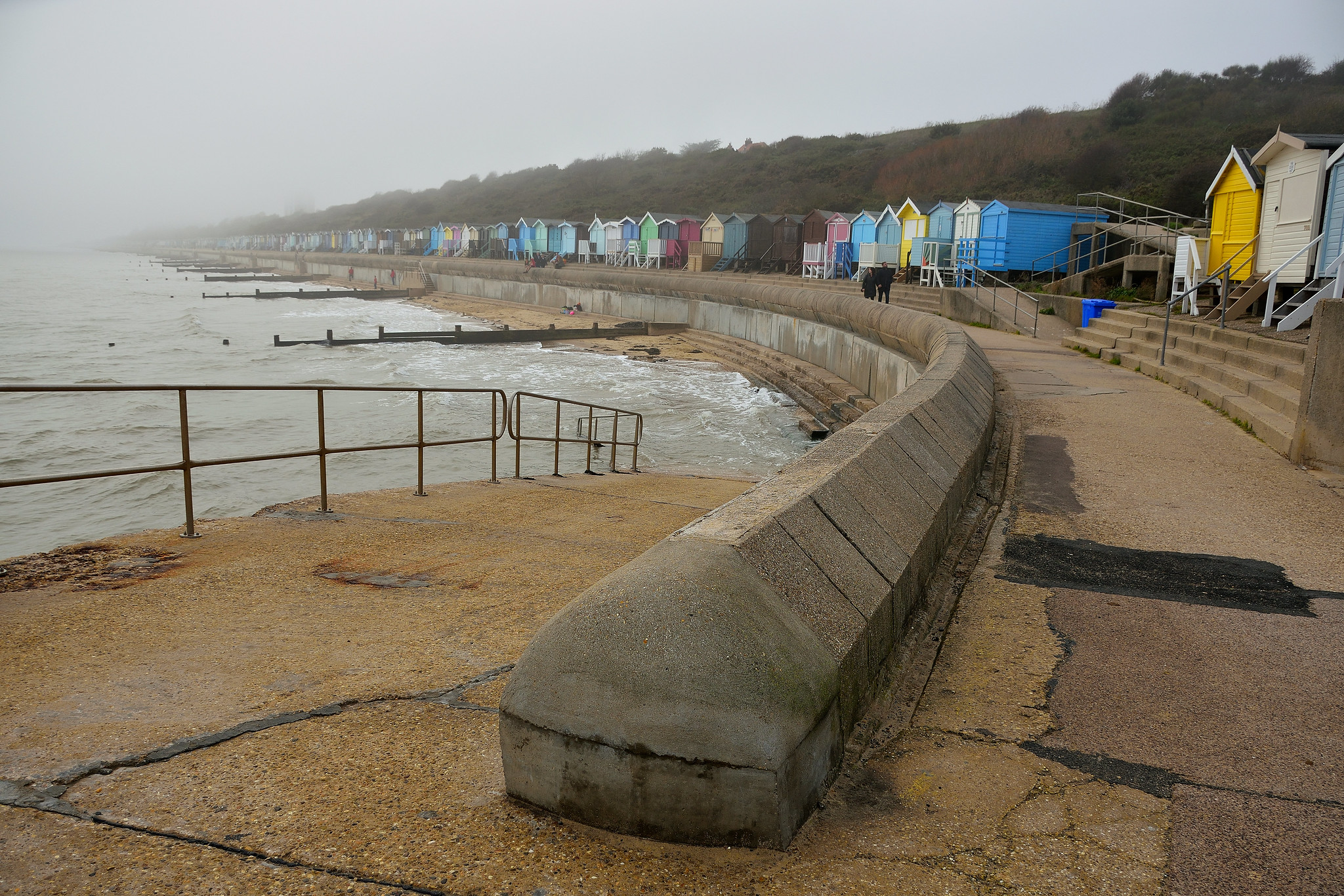
Sea wall between Frinton and Walton-on-the-Naze
Uploaded to Flickr by 35mmMan on 16 November 2022
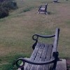
Sea wall between Frinton and Walton-on-the-Naze
Uploaded to Flickr by 35mmMan on 16 November 2022
 Photo © 35mmMan, 16 November 2022.
Licensed for reuse under this Creative Commons licence
Photo © 35mmMan, 16 November 2022.
Licensed for reuse under this Creative Commons licence
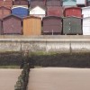
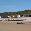
Location: Frinton-on-Sea
Location type: Urban
OS Grid: TM239194
Coordinates: 51°49'42"N 1°14'54"E
Mapcode: GBR VS1.BFV
What 3 Words: sobs.heartache.lashed
Coordinates and location codes are for an approximate mid-point of the beach, and may not reflect the best access point or the most popular part of the beach.
County: Essex
Country: England
Local Authority: Tendring
Parish: Frinton and Walton
Nearest postcode: CO13 9AU
(for sat-nav purposes only, a beach does not have a postal address!)