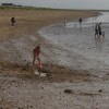
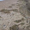
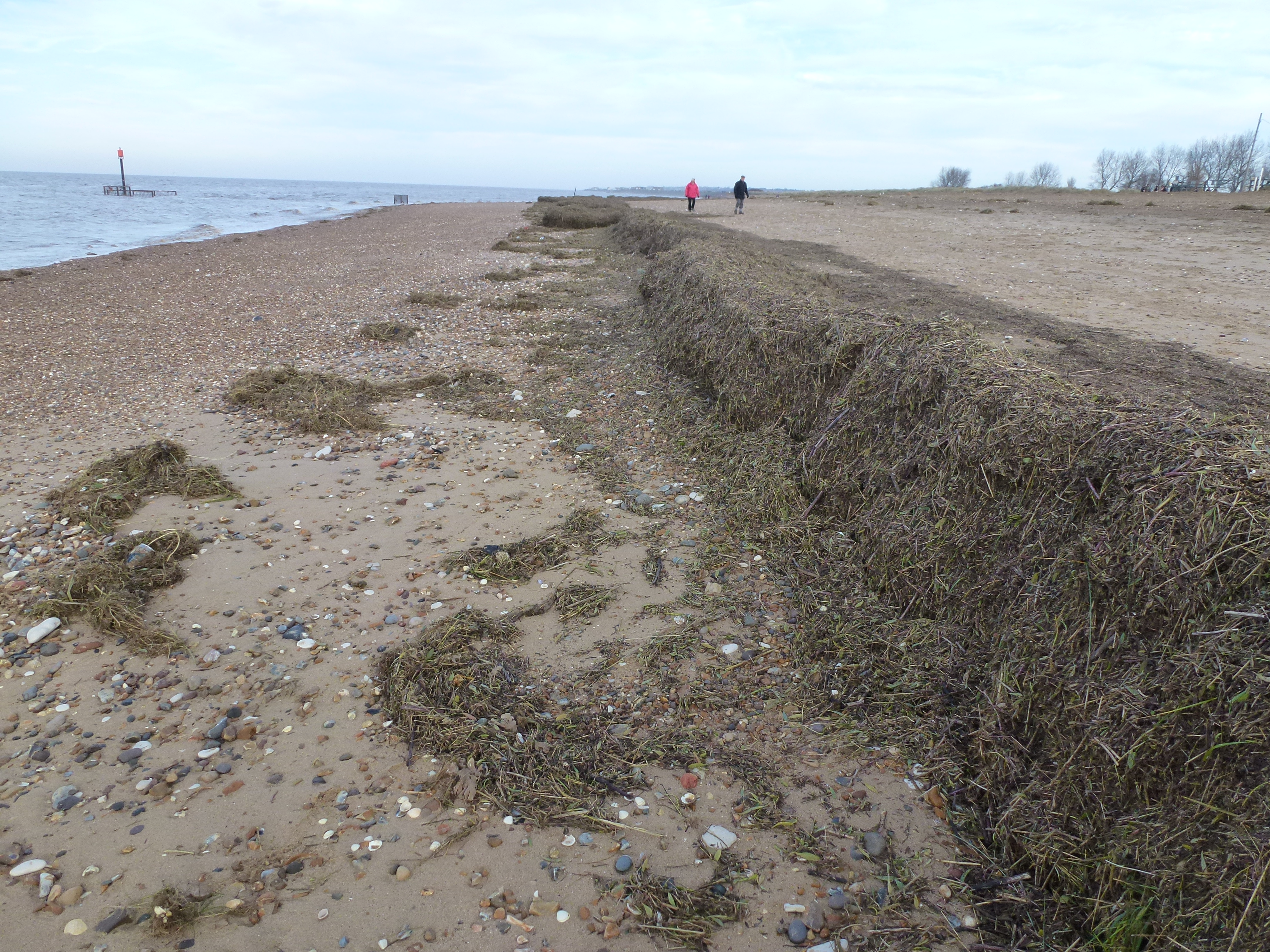
The entire Norfolk coast was battered by a 1 in 60 year tidal surge on the night of Thursday 5th December 2013. A combination of a spring tide, 60 mph winds and a North Sea tidal surge caused the highest tides in over 60 years. The shingle bank to the south was breached in several places allowing the sea water to undermine bungalows, caravans and the road
Uploaded to Geograph by Richard Humphrey on 9 December 2013
Photo © Richard Humphrey, 9 December 2013.
Licensed for reuse under this Creative Commons licence
Location: Shepherd's Port
Location type: Town
OS Grid: TF659368
Coordinates: 52°54'10"N 0°27'59"E
Mapcode: GBR P36.YL0
What 3 Words: journey.butternut.aware
Coordinates and location codes are for an approximate mid-point of the beach, and may not reflect the best access point or the most popular part of the beach.
County: Norfolk
Country: England
Local Authority: King's Lynn and West Norfolk
Parish: Heacham
Nearest postcode: PE31 7LH
(for sat-nav purposes only, a beach does not have a postal address!)