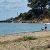
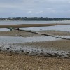
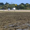
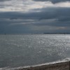
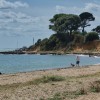
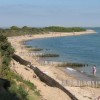
Lepe Beach, looking towards the Isle Of Wight
Uploaded by Fergus McNeill on 28 December 2006
Uploaded by Fergus McNeill on 28 December 2006
 Photo © Fergus McNeill, 28 December 2006.
Licensed for reuse under this Creative Commons licence
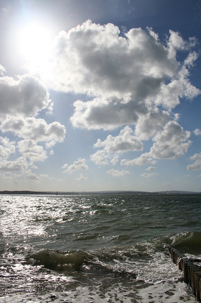
Photo © Fergus McNeill, 28 December 2006.
Licensed for reuse under this Creative Commons licence
Location: Lepe
Location type: Rural
Nearest village: Langley
OS Grid: SZ456984
Coordinates: 50°47'1"N 1°21'12"W
Mapcode: GBR 899.SR7
What 3 Words: clarifies.love.maps
Coordinates and location codes are for an approximate mid-point of the beach, and may not reflect the best access point or the most popular part of the beach.
County: Hampshire
Country: England
Local Authority: New Forest
Parish: Exbury and Lepe
Nearest postcode: SO45 1AD
(for sat-nav purposes only, a beach does not have a postal address!)