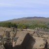
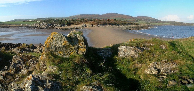
Lookng back towards Mossyard from the Magellan Rocks
Uploaded by whatani on 19 February 2015
Uploaded by whatani on 19 February 2015
 Photo © whatani, 19 February 2015.
Licensed for reuse under this Creative Commons licence
Photo © whatani, 19 February 2015.
Licensed for reuse under this Creative Commons licence
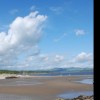
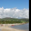
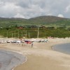
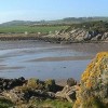
Location: Sandgreen
Location type: Village
Nearest village: Carrick Shore
OS Grid: NX550514
Coordinates: 54°50'13"N 4°15'29"W
Mapcode: GBR HHVX.Q7G
What 3 Words: overgrown.oath.duos
Coordinates and location codes are for an approximate mid-point of the beach, and may not reflect the best access point or the most popular part of the beach.
Country: Scotland
Local Authority: Dumfries and Galloway
Nearest postcode: DG7 2ET
(for sat-nav purposes only, a beach does not have a postal address!)