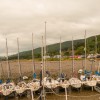
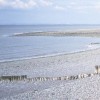
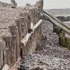
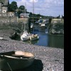
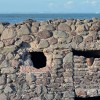
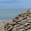
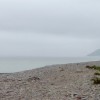
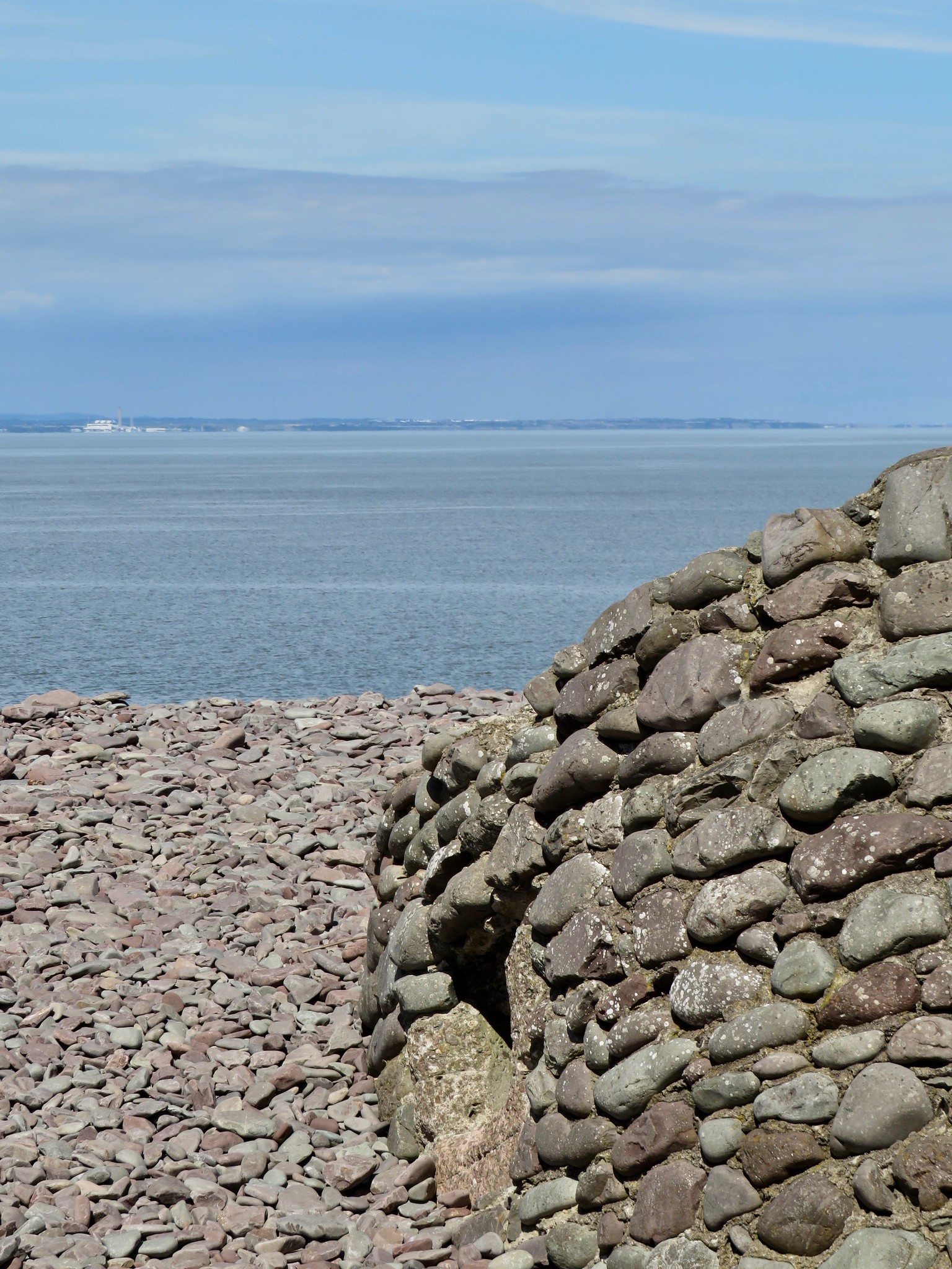
The side of the WWII pillbox that each year seems to sink further into the pebbles from which it's constructed. On this amazingly clear day, not just the Welsh coastline but also the hills behind were visible.
Uploaded to Flickr by carolyngifford on 14 August 2020
Photo © carolyngifford, 14 August 2020.
Licensed for reuse under this Creative Commons licence
Location: Porlock Weir
Location type: Village
OS Grid: SS865478
Coordinates: 51°13'8"N 3°37'32"W
Mapcode: GBR LB.3F97
What 3 Words: logbook.splints.roaring
Coordinates and location codes are for an approximate mid-point of the beach, and may not reflect the best access point or the most popular part of the beach.
County: Somerset
Country: England
Local Authority: West Somerset
Parish: Porlock
Nearest postcode: TA24 8PB
(for sat-nav purposes only, a beach does not have a postal address!)