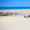
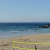
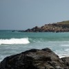
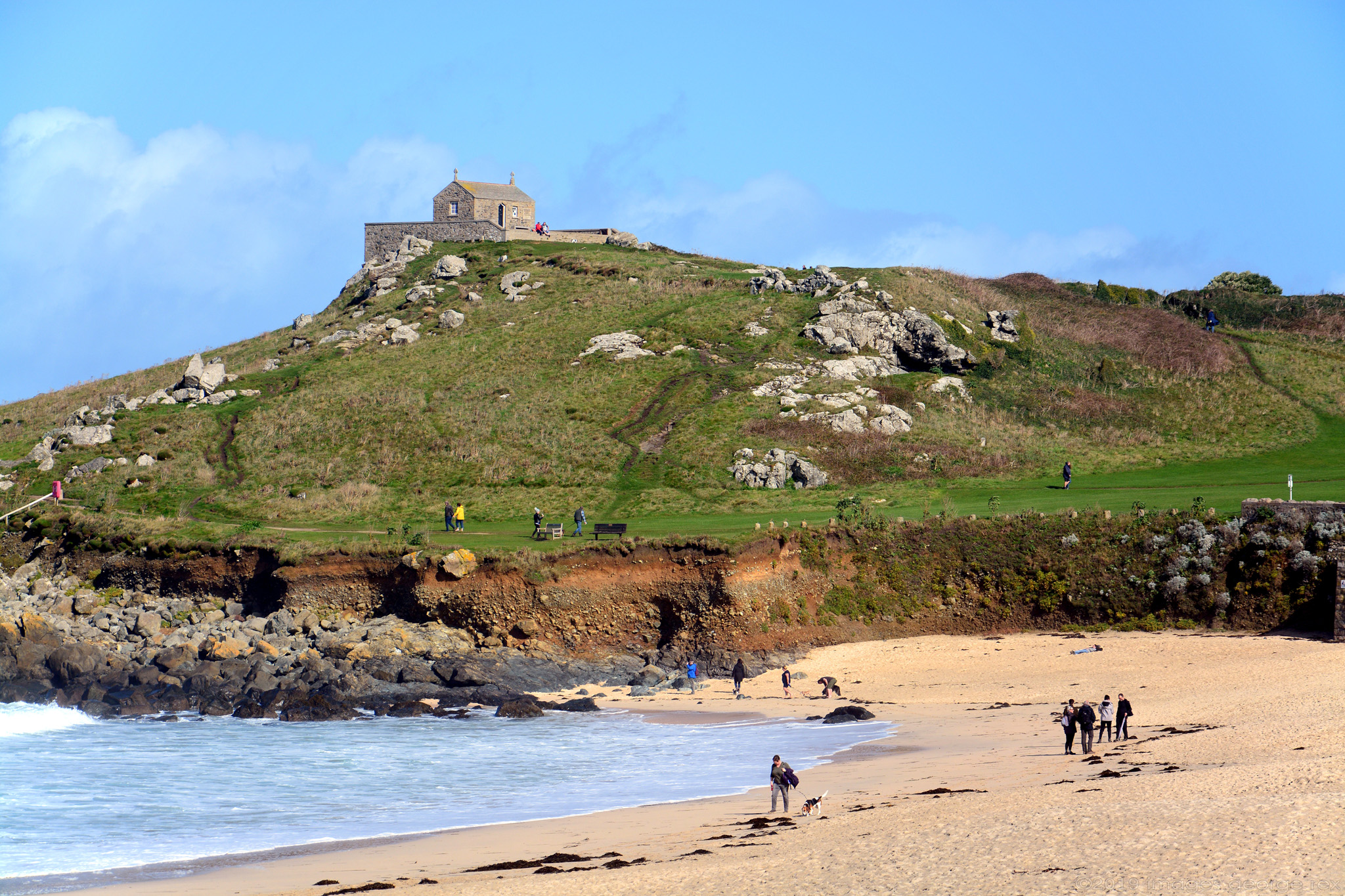
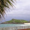
More correctly known as St Nicholas Chapel, the present building's form is thought to be C14, although churches on this site may go back as far as C5. Granite rubble with slate roof, now a restoration. Grade II listed. 'The Island' is actually a peninsular. St Ives. Cornwall.
(CC BY-NC-ND 2.0)
Uploaded to Flickr by Images George Rex on 20 October 2019
Photo © Images George Rex, 20 October 2019.
Licensed for reuse under this Creative Commons licence
Location: St Ives
Location type: Town
OS Grid: SW515408
Coordinates: 50°12'56"N 5°29'0"W
Mapcode: GBR DXV3.M2C
What 3 Words: space.stress.allowable
Coordinates and location codes are for an approximate mid-point of the beach, and may not reflect the best access point or the most popular part of the beach.
Country: England
Local Authority: Cornwall
Parish: St. Ives
Nearest postcode: TR26 1JZ
(for sat-nav purposes only, a beach does not have a postal address!)