Uploader's Comments
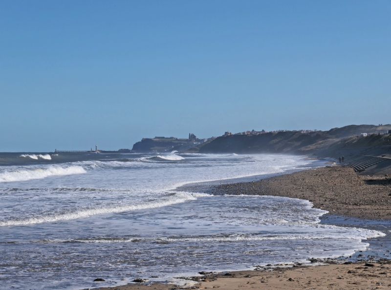
Perfect blue sky day!
Sandsend and the neighbouring village of East Row began as separate villages but were joined when extra cottages were built for workers in the alum industry. Sandsend was also buoyed by tourism from the Whitby, Redcar and Middlesbrough Union Railway, which ran through the village from 1855 to 1958. The local station was Sandsend railway station, which opened in 1883 and was closed in 1958.
Sandsend is located on the coastal part of the 110-mile (180 km) Cleveland Way and it follows the course of the old railway line northwards.
Uploaded to Flickr by amandabhslater on 17 October 2024


