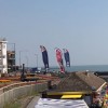
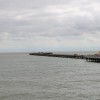
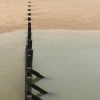
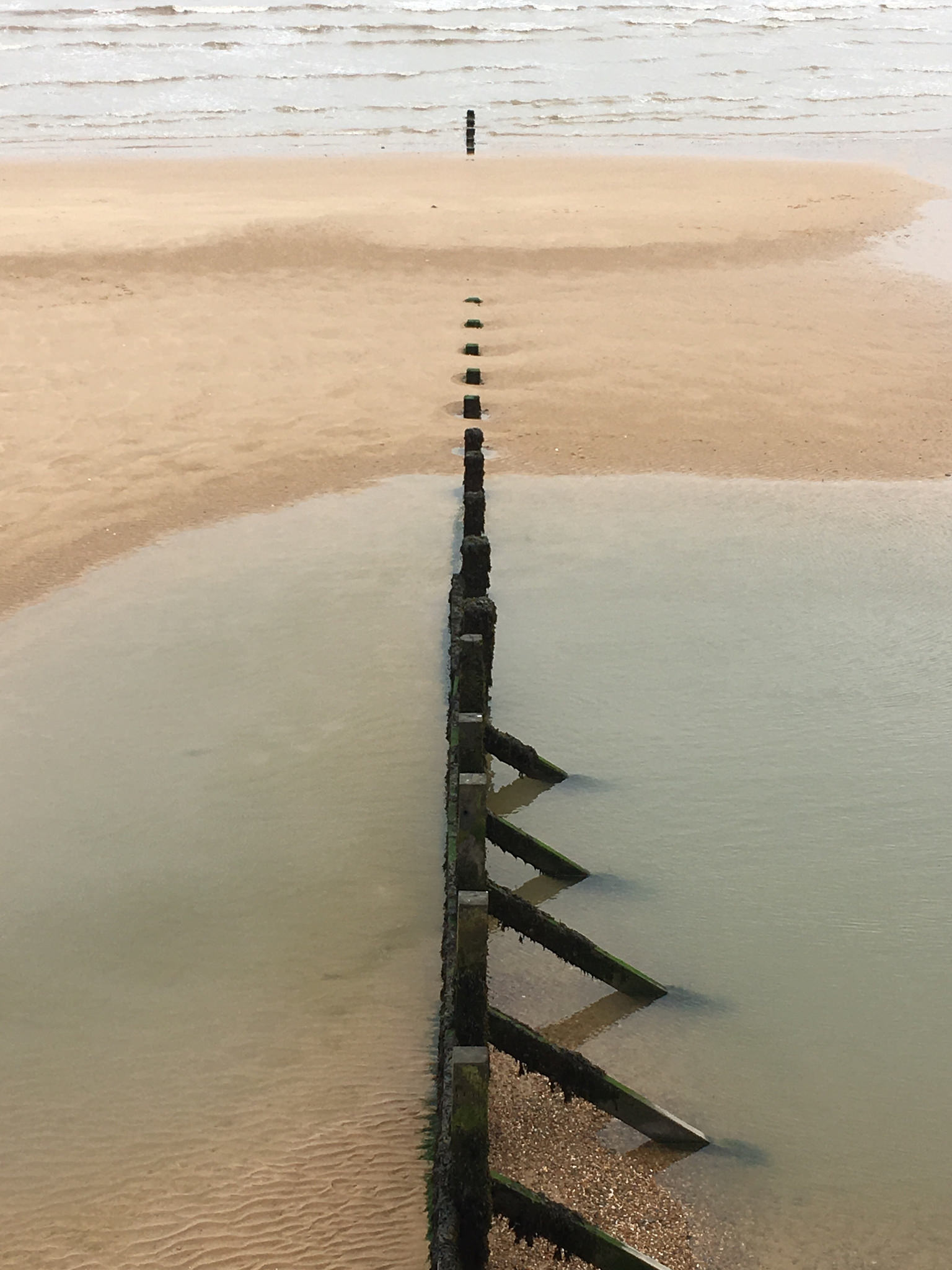
Breakwater
Uploaded to Flickr by Phil Gyford on 5 June 2018
Uploaded to Flickr by Phil Gyford on 5 June 2018
 Photo © Phil Gyford, 5 June 2018.
Licensed for reuse under this Creative Commons licence
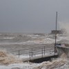
Photo © Phil Gyford, 5 June 2018.
Licensed for reuse under this Creative Commons licence
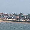
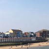
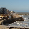
Location: Walton-on-the-Naze
Location type: Urban
OS Grid: TM255215
Coordinates: 51°50'50"N 1°16'22"E
Mapcode: GBR VRW.4MG
What 3 Words: pacifist.outpost.backs
Coordinates and location codes are for an approximate mid-point of the beach, and may not reflect the best access point or the most popular part of the beach.
County: Essex
Country: England
Local Authority: Tendring
Parish: Frinton and Walton
Nearest postcode: CO14 8EA
(for sat-nav purposes only, a beach does not have a postal address!)