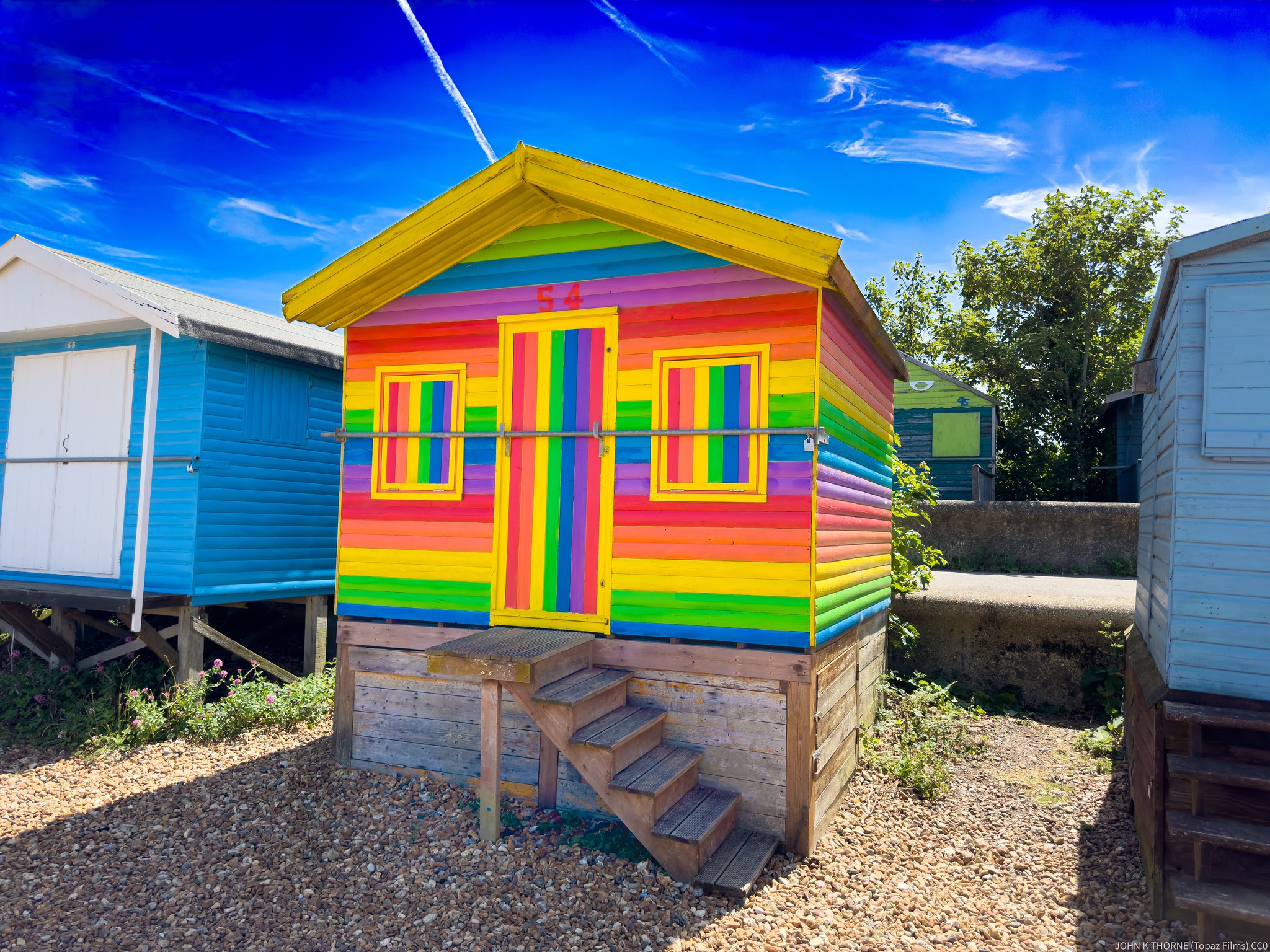
Rainbow ???? Beach Hut. Whitstable Kent
Uploaded to Flickr by JOHN K THORNE on 29 June 2024
Uploaded to Flickr by JOHN K THORNE on 29 June 2024
 Photo © JOHN K THORNE, 29 June 2024.
Licensed for reuse under this Creative Commons licence
Photo © JOHN K THORNE, 29 June 2024.
Licensed for reuse under this Creative Commons licence
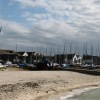
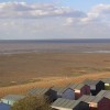
Location: Lower Island, Whitstable
Location type: Urban
OS Grid: TR099659
Coordinates: 51°21'13"N 1°0'50"E
Mapcode: GBR SVW.55V
What 3 Words: loses.voter.ghost
Coordinates and location codes are for an approximate mid-point of the beach, and may not reflect the best access point or the most popular part of the beach.
County: Kent
Country: England
Local Authority: Canterbury
Nearest postcode: CT5 1FB
(for sat-nav purposes only, a beach does not have a postal address!)