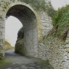
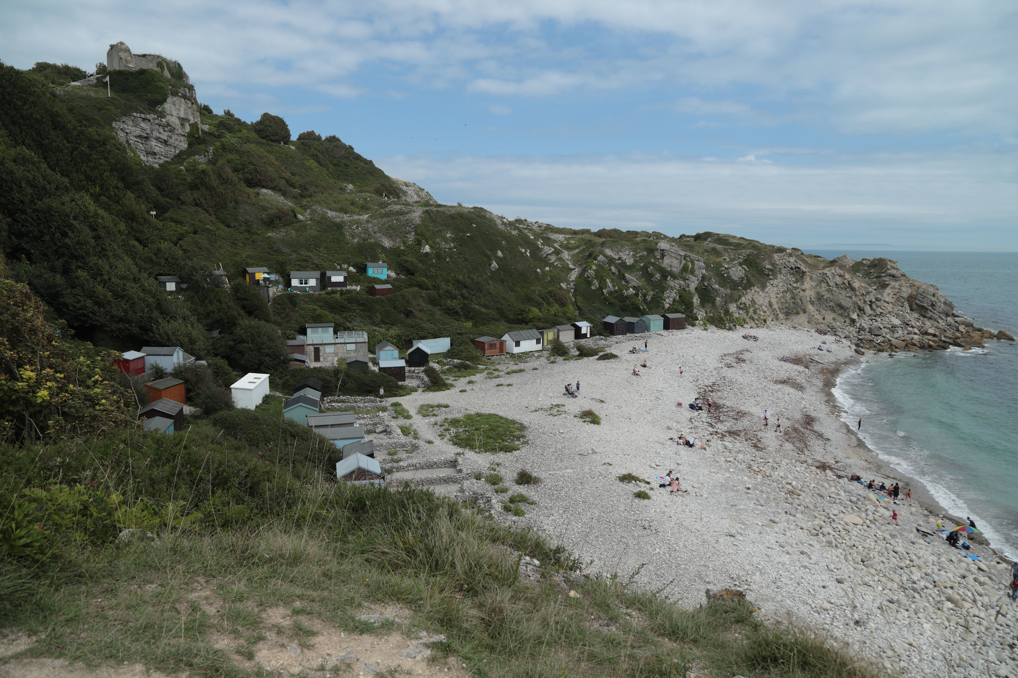
Plan-ECP/SWCP | Rufus Castle and Church Ope Cove
Uploader's Comments
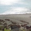
England Coast Path Plan - South West Coast Path ! Rufus Castle to Ferrybridge
Uploaded to Flickr by Carneddau on 14 August 2023
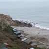
England Coast Path Plan - South West Coast Path ! Rufus Castle to Ferrybridge
Uploaded to Flickr by Carneddau on 14 August 2023
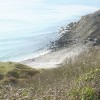
 Photo © Carneddau, 14 August 2023.
Licensed for reuse under this Creative Commons licence
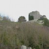
Photo © Carneddau, 14 August 2023.
Licensed for reuse under this Creative Commons licence
Location: Easton
Location type: Town
OS Grid: SY697710
Coordinates: 50°32'17"N 2°25'41"W
Mapcode: GBR PZ.4BD4
What 3 Words: formless.envisage.tidying
Coordinates and location codes are for an approximate mid-point of the beach, and may not reflect the best access point or the most popular part of the beach.
County: Dorset
Country: England
Local Authority: Weymouth and Portland
Parish: Portland
Nearest postcode: DT5 1HZ
(for sat-nav purposes only, a beach does not have a postal address!)