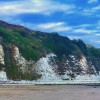
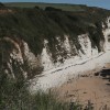
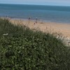
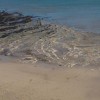
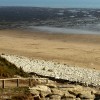
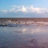
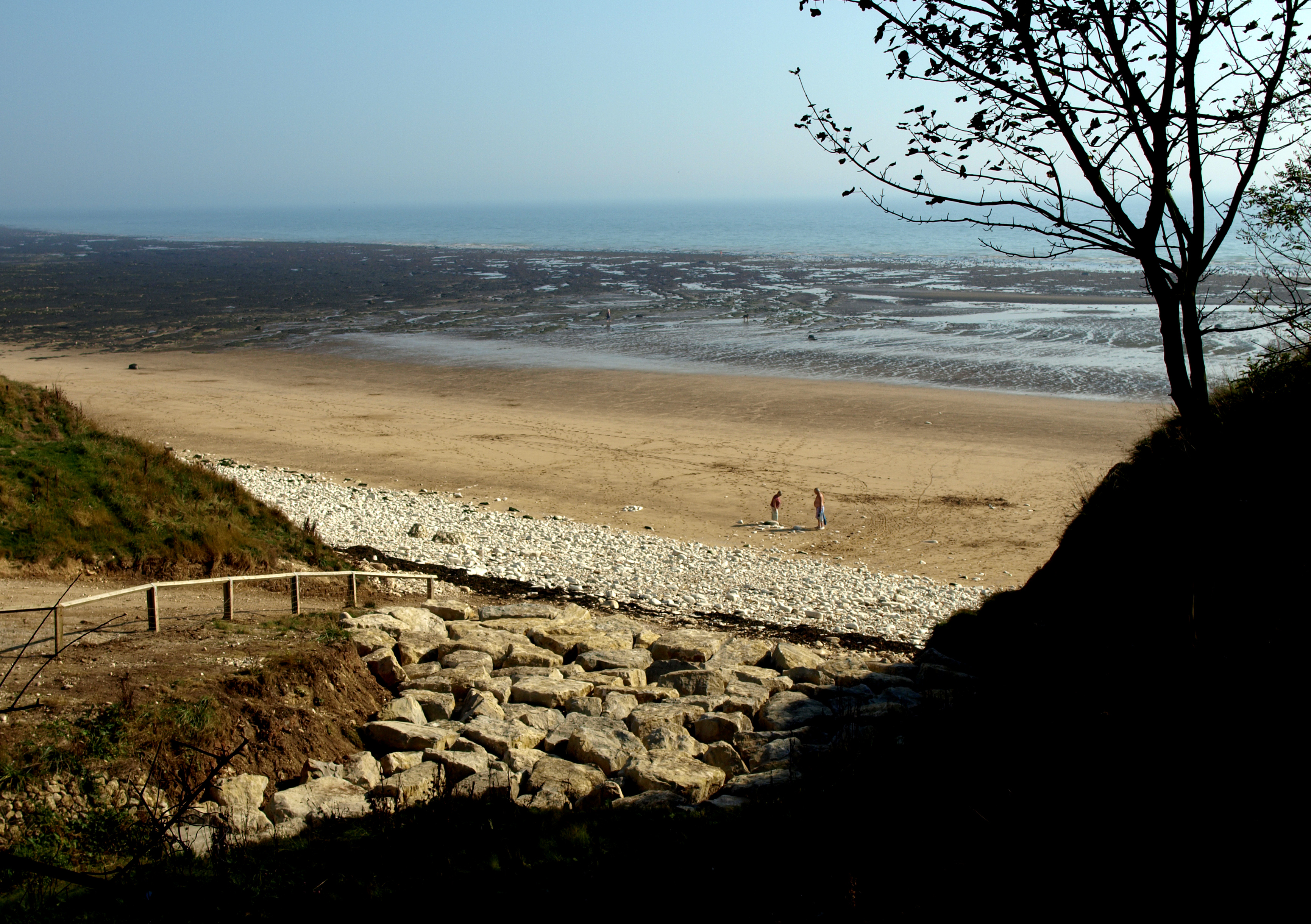
The Beach at Danes' Dyke
Uploader's Comments
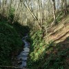
Taken from the steps of the elevated woodland footpath.
Uploaded to Geograph by Andy Beecroft on 30 September 2011
Taken from the steps of the elevated woodland footpath.
Uploaded to Geograph by Andy Beecroft on 30 September 2011
 Photo © Andy Beecroft, 30 September 2011.
Licensed for reuse under this Creative Commons licence
Photo © Andy Beecroft, 30 September 2011.
Licensed for reuse under this Creative Commons licence
Location: Sewerby
Location type: Rural
OS Grid: TA216691
Coordinates: 54°6'12"N 0°8'30"W
Mapcode: GBR WNGZ.3Q
What 3 Words: hardens.denoting.notes
Coordinates and location codes are for an approximate mid-point of the beach, and may not reflect the best access point or the most popular part of the beach.
Country: England
Local Authority: East Riding of Yorkshire
Parish: Bridlington
Nearest postcode: YO15 1DW
(for sat-nav purposes only, a beach does not have a postal address!)