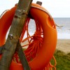
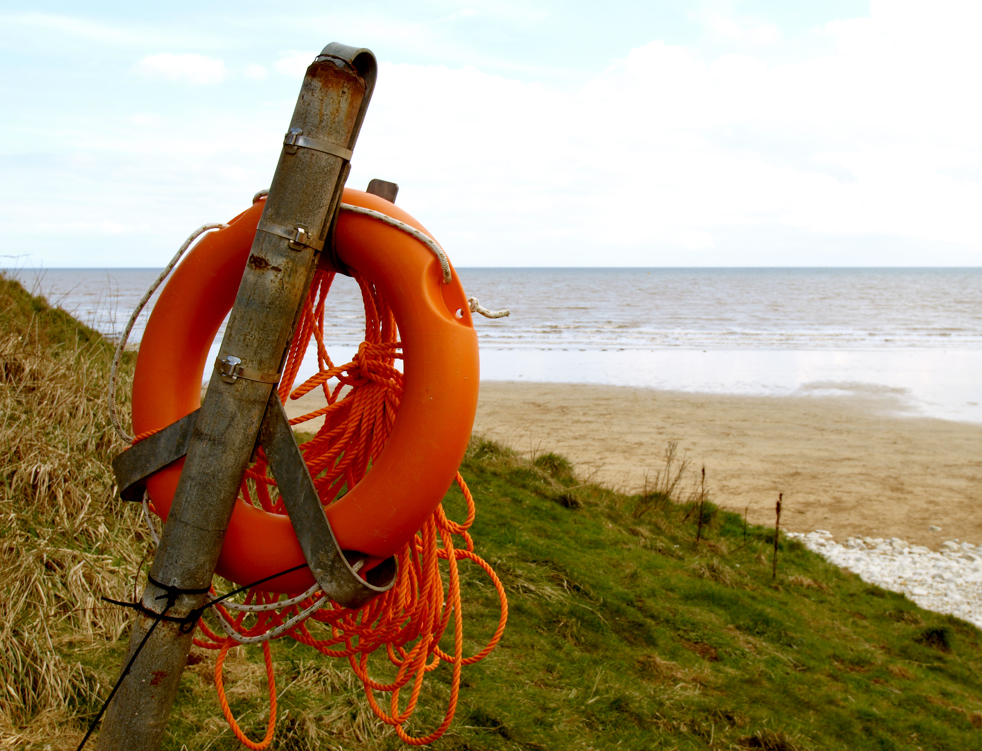
British Beaches

Visitor information for every beach in the UK

"From the long shore-cliff's windy walls to the beach"
« Beach details

Danes Dyke Beach Photos

East Riding of Yorkshire, England

Leaning Lifebelt

Uploader's Comments

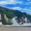
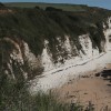
Situated at the seashore end of Danes' Dyke, the lifebelt appears to have seen better days..... the post is held 'nearly' vertically with a bit of old rope!

Uploaded to Geograph by Andy Beecroft on 3 April 2010

Creative Commons License Photo © Andy Beecroft, 3 April 2010. Licensed for reuse under this Creative Commons licence

Location: Sewerby

Location type: Rural

OS Grid: TA216691

Coordinates: 54°6'12"N 0°8'30"W

Mapcode: GBR WNGZ.3Q

What 3 Words: hardens.denoting.notes

Coordinates and location codes are for an approximate mid-point of the beach, and may not reflect the best access point or the most popular part of the beach.

Country: England

Local Authority: East Riding of Yorkshire

Parish: Bridlington

Nearest postcode: YO15 1DW

(for sat-nav purposes only, a beach does not have a postal address!)

'Leaning Lifebelt' - a photo of Danes Dyke Beach

British Beaches is a Good Stuff website.

216.73.216.53 Thu, 04 Jun 2026 07:28:18 +0100