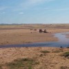
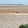
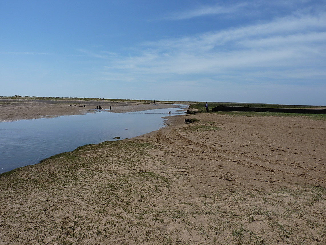
Drainage channel across Bullstone Bed
Uploader's Comments
A small outfall pipe, probably draining marshland to the north of the dunes, empties into this shallow creek; it formerly ran further out across the sand and shingle flats - the old wooden piles remain, as seen to the left of the water. Study of the map suggests that a drain called the Stoup Dub Cut runs very much in the direction of this pipe, and this may well be its endpoint.
Uploaded to Geograph by Richard Law on 17 May 2014