Approximate Location Map
Use two fingers to pan or zoom the map
Use two fingers to pan or zoom the map
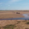
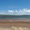
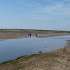
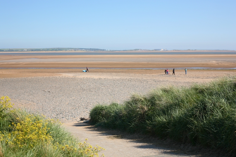
Haverigg Beach is a gently sloping gravel and sandy beach that levels out to flat sand at low tide. The beach is situated at the mouth of the Duddon Estuary and offers stunning views of the Lake District fells. At low tide, the water retreats a long way from the beach, exposing the sands of the Duddon estuary.
The beach features a long stretch of sand, making it ideal for various recreational activities such as flying a kite and dog walking. There are large sand dunes covered in sharp sea-grasses, and the beach is clean and has been awarded Blue Flag status in the past. Visitors can enjoy free parking spaces, a good children's play area, and a reasonably-priced café. The beach is generally unrestricted for dogs, although they must be kept on a lead around the RSPB Hodbarrow nature reserve.
The Hodbarrow RSPB nature reserve, located near the beach, is a haven for wildlife and wading birds. The reserve is home to nesting terns, lapwings, and ringed plovers in the spring, and visitors may spot coots, wild swans, teals, and eiders at other times of the year. The nearby lagoon, created from the remains of disused iron ore mines, is a popular spot for birdwatching.
The coastal path runs along the east of the beach, passing by a large sculpture called 'Escape to the Light', dedicated to all Inshore Rescue Teams in the UK. The sculpture, installed in 2003, weighs 7 tonnes and was created by world-famous sculptress Josefina de Vasconcellos.
The beach is best visited at low tide, when visitors can walk along the beach to Silecroft or along the former sea wall towards Millom. The beach is backed by sand dunes, providing a beautiful natural setting and panoramic views of the surrounding landscape.
Sand
| Today |  |
|---|---|
| Chance of rain | 100% |
| Max temperature | 15°C |
| feels like | 15°C |
| Wind 20mph |  |
| Max UV Index |  |
| Tonight |  |
|---|---|
| Chance of rain | 99% |
| Min temperature | 12°C |
| feels like | 7°C |
| Wind 23mph |  |
The tide at Haverigg Beach is currently falling. Low tide will be at approximately 5:21 AM, and the next high tide will be at approximately 10:52 AM.
Detailed weather and tides » Campsite
 Food available
 Toilets
 Shops
Shops
Parking is available close to the beach.
No lifeguard cover at this beach

Water quality not measured here
around 2 miles north-northeast as the seagull flies, around 2 miles by road.
around 3 miles east-southeast as the seagull flies, around 23 miles by road.
around 3 miles northwest as the seagull flies, around 5 miles by road or 3 miles on foot using coastal paths.
around 3 miles east as the seagull flies, around 19 miles by road.
around 5 miles south-southeast as the seagull flies, around 24 miles by road.
around 5 miles south as the seagull flies, around 28 miles by road.
around 6 miles south as the seagull flies, around 27 miles by road.
around 7 miles south-southeast as the seagull flies, around 27 miles by road.
around 9 miles southeast as the seagull flies, around 27 miles by road.
around 9 miles east-southeast as the seagull flies, around 26 miles by road.
around 9 miles east-southeast as the seagull flies, around 23 miles by road.
around 12 miles north-northwest as the seagull flies, around 16 miles by road.
around 15 miles east as the seagull flies, around 31 miles by road.
around 16 miles north-northwest as the seagull flies, around 21 miles by road.
around 18 miles east as the seagull flies, around 41 miles by road.
around 19 miles east-southeast as the seagull flies, around 58 miles by road.
around 19 miles east-southeast as the seagull flies, around 58 miles by road.
around 19 miles east-southeast as the seagull flies, around 59 miles by road.
around 19 miles east-southeast as the seagull flies, around 57 miles by road.
around 19 miles east-southeast as the seagull flies, around 57 miles by road.
Location: Haverigg
Location type: Town
OS Grid: SD159779
Coordinates: 54°11'25"N 3°17'24"W
Mapcode: GBR 5MGZ.GM
What 3 Words: automatic.tags.balance
Coordinates and location codes are for an approximate mid-point of the beach, and may not reflect the best access point or the most popular part of the beach.
County: Cumbria
Country: England
Local Authority: Copeland
Parish: Millom
Nearest postcode: LA18 4GY
(for sat-nav purposes only, a beach does not have a postal address!)
Important! Beach information is compiled from a variety of different sources and is correct to the best of our knowledge at the time of compilation. However, information may be incorrectly supplied by our sources or go out of date after publication. BritishBeaches.uk makes no warranty as to the accuracy of any information on this page.