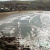
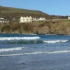
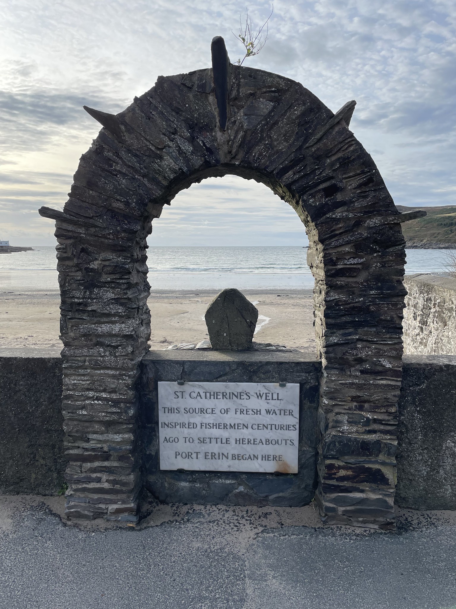
Port Erin Isle of Man
Uploaded to Flickr by Radarsmum67 on 28 September 2024
Uploaded to Flickr by Radarsmum67 on 28 September 2024
 Photo © Radarsmum67, 28 September 2024.
Licensed for reuse under this Creative Commons licence
Photo © Radarsmum67, 28 September 2024.
Licensed for reuse under this Creative Commons licence
Coordinates: 54°5'12"N 4°45'39"W
Mapcode: IMN 6S.V0T
What 3 Words: recycled.regulate.comb
Coordinates and location codes are for an approximate mid-point of the beach, and may not reflect the best access point or the most popular part of the beach.
County: Isle of Man
Country: Isle of Man