Approximate Location Map
Use two fingers to pan or zoom the map
Use two fingers to pan or zoom the map
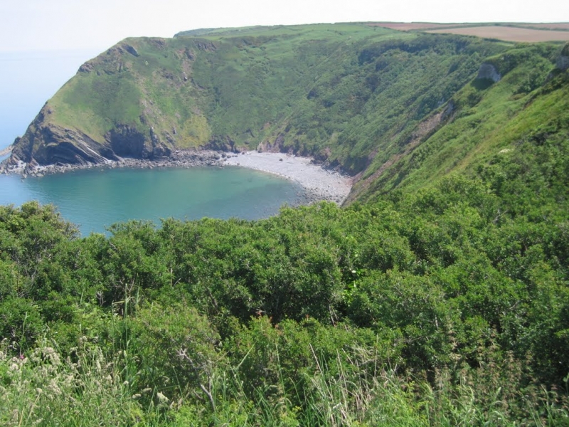
Historically famous as a favourite haunt for smugglers. Access to the beach is now difficult, as the cliff steps have been closed due to landslides.
Shipload Bay is on the Hartland (Devon) Heritage Coast, and adjacent to the South West Coast Path.
Shingle Rock
| Today | |
|---|---|
| Chance of rain | 89% |
| Max temp. | 13°C |
| (feels like | 8°C) |
| Wind 31mph | |
| Max UV Index |
| Tonight | |
|---|---|
| Chance of rain | 60% |
| Min temp. | 5°C |
| (feels like | 1°C) |
| Wind 36mph |
The tide at Shipload Bay is currently rising. High tide will be at approximately 9:35 AM, and the next low tide will be at approximately 3:57 PM.
![]() Today's air pollution levels are forecast to be Low
Today's air pollution levels are forecast to be Low
 Approximate sea surface temperature:
11.3°C
Approximate sea surface temperature:
11.3°C
Limited parking in nearby East Titchberry.
No lifeguard cover at this beach
Water quality not measured here
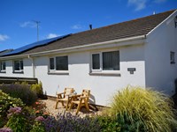
Coastal Northam Apartment

From £387.00 per week at Holidaycottages.co.uk
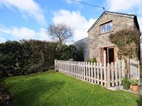
Rural Devon Cottage

From £666.00 per week at Holidaycottages.co.uk
Partridge Cottage

From £3747.00 per week at Sykes Holiday Cottages
Romantic Rural Devon Cottage

From £410.00 per week at Holidaycottages.co.uk
Poundstock Cottage
From £526.00 per week at Holidaycottages.co.uk
Romantic Cornwall Cottage
From £354.00 per week at Holidaycottages.co.uk
Hartland Abbey & Gardens (2 miles)
Hartland Point Lighthouse (2.1 miles)
Hartland Quay (2.1 miles)
Cheristow Lavender (2.2 miles)
Docton Mill Gardens & Tea Rooms (3 miles)
Independent Charters (4.2 miles)
Clovelly Village (4.7 miles)
The Point (360 yards)
All distances are approximate
around 5 miles east-southeast as the seagull flies, around 7 miles by road.
around 2 miles southwest as the seagull flies, around 4 miles by road.
Location: Exmansworthy
Location type: Rural
Nearest village: Stoke
OS Grid: SS245274
County: Devon
Country: England
Local Authority: Torridge
Parish: Hartland
Nearest postcode: EX39 6AU
(for sat-nav purposes only, a beach does not have a postal address!)
Important! Beach information is compiled from a variety of different sources and is correct to the best of our knowledge at the time of compilation. However, information may be incorrectly supplied by our sources or go out of date after publication. BritishBeaches.uk makes no warranty as to the accuracy of any information on this page.
(Or après-beach. Or pre-beach. Or, just because you might want stuff)
Men's Tops
Weird Fish Newark Eco 1/4 Zip Grid Fleece Navy Size XL

Only £38.50 from Weird Fish