Approximate Location Map
Use two fingers to pan or zoom the map
Use two fingers to pan or zoom the map
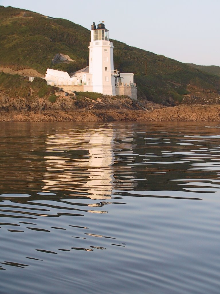
The area is maintained by the National Trust, and is not suitable for swimming though there are sandy bays nearby.
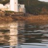
St Anthony Head Beach is on The Roseland Heritage Coast, and adjacent to the South West Coast Path.
Rock
| Today | |
|---|---|
| Chance of rain | 87% |
| Max temp. | 14°C |
| (feels like | 8°C) |
| Wind 29mph | |
| Max UV Index |
| Tonight | |
|---|---|
| Chance of rain | 62% |
| Min temp. | 6°C |
| (feels like | 1°C) |
| Wind 25mph |
The tide at St Anthony Head Beach is currently falling. Low tide will be at approximately 3:41 PM, and the next high tide will be at approximately 9:21 PM.
![]() Today's air pollution levels are forecast to be Low
Today's air pollution levels are forecast to be Low
 Approximate sea surface temperature:
12°C
Approximate sea surface temperature:
12°C
Pay & display. National Trust members park for free.
Dogs are allowed. Please clean up after your dog.
Please help to keep the headland beautiful and take your litter home with you.
No lifeguard cover at this beach
Water quality not measured here
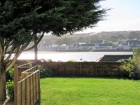
Rose Cottage

From £4119.00 per week at Sykes Holiday Cottages
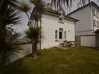
Guillemot

From £4505.00 per week at Sykes Holiday Cottages
Romantic Cornwall Apartment
From £416.00 per week at Holidaycottages.co.uk
Romantic Cornwall Cottage
From £729.00 per week at Holidaycottages.co.uk
Seabien

From £3127.00 per week at Sykes Holiday Cottages
Garras Barn

From £3067.00 per week at Sykes Holiday Cottages
St. Mawes Castle (1.1 miles)
St Mawes Ferry (1.2 miles)
St. Anthony Head Walk (1.5 miles)
Falmouth Lifeboat (2.2 miles)
WeSUP Paddleboard Centre (2.4 miles)
Cornish Day Sailing (2.5 miles)
St. Just in Roseland Church (2.8 miles)
Salt Air Adventures (3.1 miles)
Mylor Sailing School (3.1 miles)
AK Wildlife Cruises (3.3 miles)
All distances are approximate
just over a mile northeast as the seagull flies, just over a mile by road.
around 4 miles north-northeast as the seagull flies, around 5 miles by road.
around 4 miles north-northeast as the seagull flies, around 6 miles by road.
just over a mile north as the seagull flies, around 8 miles by road.
Location: Bohortha
Location type: Rural
Nearest village: St Mawes
OS Grid: SW848311
Country: England
Local Authority: Cornwall
Parish: Gerrans
Nearest postcode: TR2 5HA
(for sat-nav purposes only, a beach does not have a postal address!)
Important! Beach information is compiled from a variety of different sources and is correct to the best of our knowledge at the time of compilation. However, information may be incorrectly supplied by our sources or go out of date after publication. BritishBeaches.uk makes no warranty as to the accuracy of any information on this page.
(Or après-beach. Or pre-beach. Or, just because you might want stuff)
Men's Tops
Weird Fish Newark Eco 1/4 Zip Grid Fleece Navy Size 5XL

Only £38.50 from Weird Fish