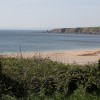
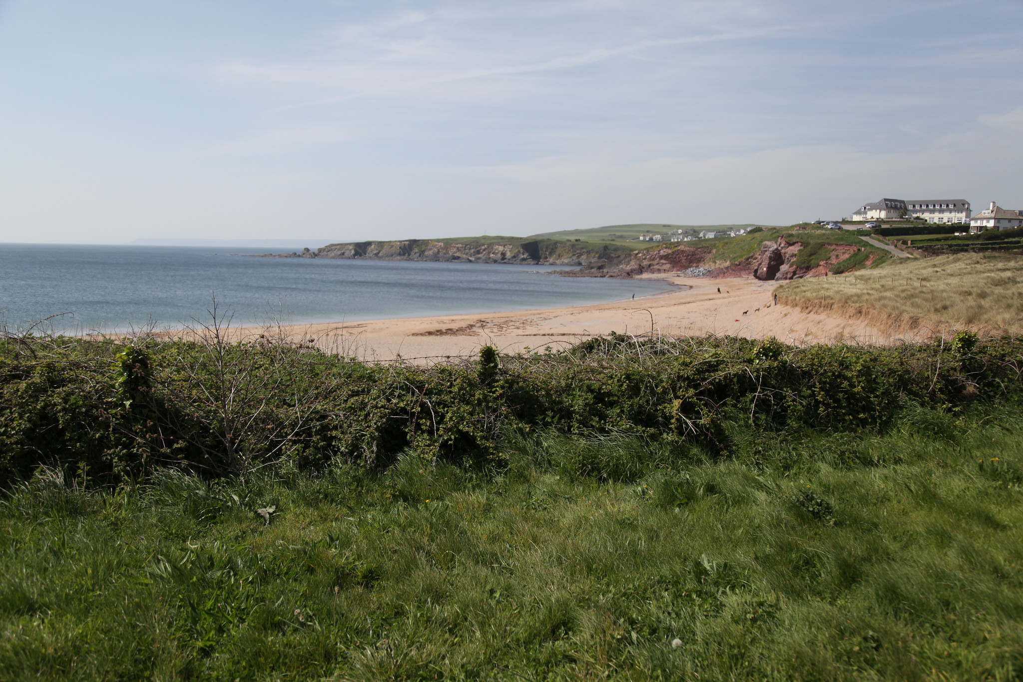
South Milton Sands - towards Thurlestone
Uploaded to Flickr by Carneddau on 14 May 2017
Uploaded to Flickr by Carneddau on 14 May 2017
 Photo © Carneddau, 14 May 2017.
Licensed for reuse under this Creative Commons licence
Photo © Carneddau, 14 May 2017.
Licensed for reuse under this Creative Commons licence
Location: Thurlestone
Location type: Village
OS Grid: SX676416
Coordinates: 50°15'36"N 3°51'28"W
Mapcode: GBR QB.M4PK
What 3 Words: mount.sprouts.wager
Coordinates and location codes are for an approximate mid-point of the beach, and may not reflect the best access point or the most popular part of the beach.
County: Devon
Country: England
Local Authority: South Hams
Parish: South Milton
Nearest postcode: TQ7 3JS
(for sat-nav purposes only, a beach does not have a postal address!)