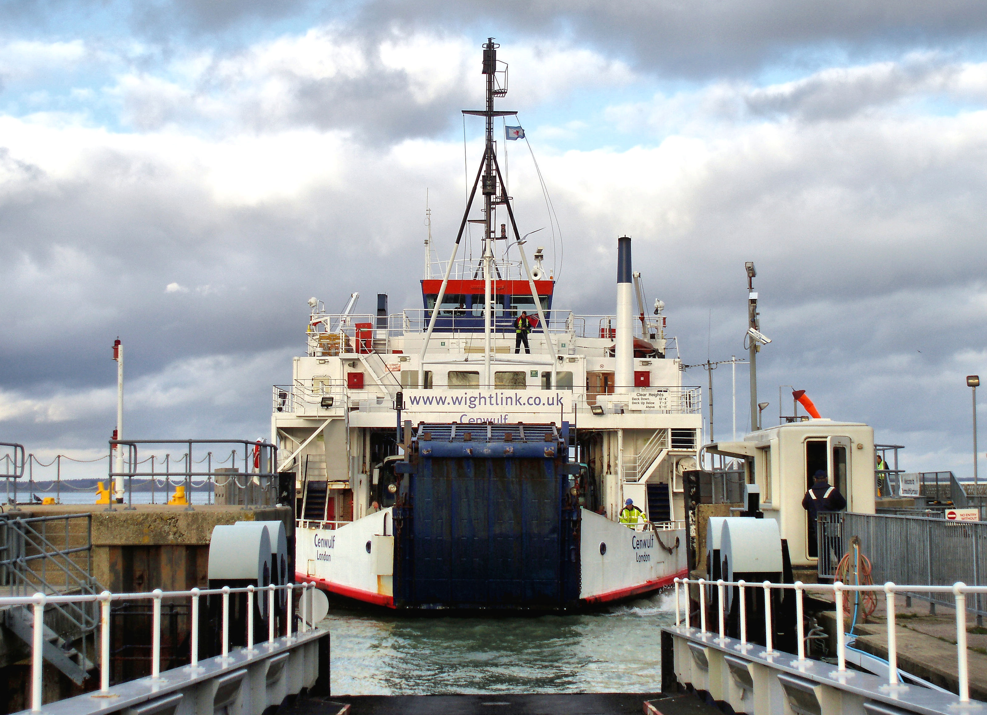
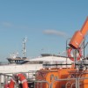
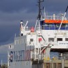
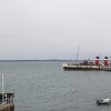
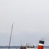
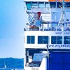
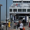
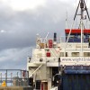
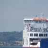
Wightlink ferry MV "Cenwulf" docking at Yarmouth on 3rd December 2007.
Launched in 1973, she was withdrawn from service in 2009 and scrapped at Esbjerg, Denmark in 2010.
Uploaded to Flickr by R~P~M on 30 September 2019
Photo © R~P~M, 30 September 2019.
Licensed for reuse under this Creative Commons licence
Location: Yarmouth
Location type: Town
OS Grid: SZ354897
Coordinates: 50°42'24"N 1°29'56"W
Mapcode: GBR 78Q.RS8
What 3 Words: fails.bandwagon.speaker
Coordinates and location codes are for an approximate mid-point of the beach, and may not reflect the best access point or the most popular part of the beach.
Country: England
Local Authority: Isle of Wight
Parish: Yarmouth
Nearest postcode: PO41 0NJ
(for sat-nav purposes only, a beach does not have a postal address!)