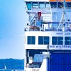
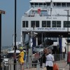
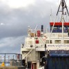
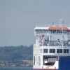
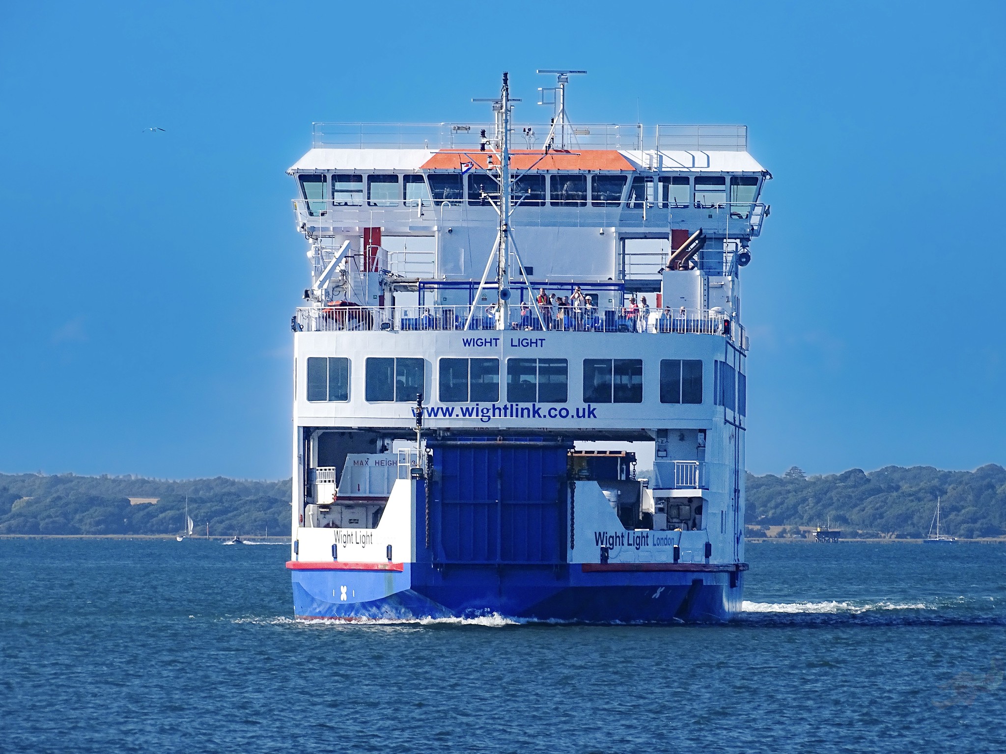
MV Wight Light is a car and passenger ferry built for the British ferry operator Wightlink.
Uploader's Comments
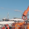
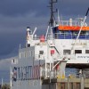
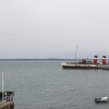
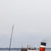
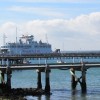
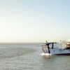
MV Wight Light is a car and passenger ferry built for the British ferry operator Wightlink. She is in service between mainland England and the Isle of Wight. She has a double end design so she doesn’t have to turn around considering she docks in narrow busy areas along with her sister ships Wight Sun and Wight Sky.
Uploaded to Flickr by JOHN K THORNE on 11 May 2025