Approximate Location Map
Use two fingers to pan or zoom the map
Use two fingers to pan or zoom the map
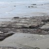
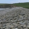
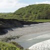
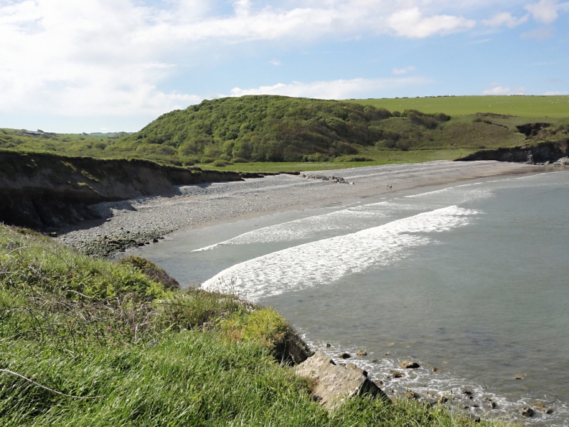
Abermawr Beach is a small cove situated on the north Pembrokeshire coast, facing north-west. The beach is part of the Pembrokeshire Coast National Park and is designated as a Site of Special Scientific Interest (SSSI). It is characterised by a pebble bank, backed by earthy cliffs and a mix of sand below the high tide mark. The beach is surrounded by marshlands and woodlands, which are an essential part of the local ecosystem.
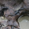
One of the distinctive features of Aber Mawr Beach is the 'forest' of ancient tree stumps that are visible at low tide. These stumps are the remains of a forest that was drowned by a sudden flood as an ice sheet melted around 8,000 years ago. The stumps have been perfectly preserved by the salt from the sea, which has prevented them from rotting. The pebble bank on the beach was formed as a result of a storm in 1859 and acts as a dam, protecting the inland area from the fierce winds.
Aber Mawr Beach is owned by the National Trust and can be accessed via a narrow single track with limited parking spaces. The beach is popular with bathers and surfers, although caution is advised due to strong and changeable currents, and there is no lifeguard on duty. Visitors can also enjoy coastal walks in the area, taking in the nearby towns of Porthgain, Abereiddy, and Abercastle.
Aber Mawr Beach is close to neighbouring Aberbach Beach and is separated from it by the Pen Deudraeth, a large rocky promontory. The beach is also near Abercastle Beach, a sheltered harbour that was once a busy trading hub and is now a popular spot for kayaking, fishing, and sailing.
Aber Mawr Beach is adjacent to the Pembrokeshire Coast Path and the Wales Coast Path.
Sand Pebbles
| Today |  |
|---|---|
| Chance of rain | % |
| Max temperature | 12°C |
| feels like | 10°C |
| Wind 34mph |  |
| Tonight |  |
|---|---|
| Chance of rain | 75% |
| Min temperature | 10°C |
| feels like | 6°C |
| Wind 20mph |  |
The tide at Aber Mawr Beach is currently rising. High tide will be at approximately 7:15 PM, and the next low tide will be at approximately 1:36 AM tomorrow.
Detailed weather and tides »There is very limited parking on the roadside verge above the beach.
Dogs are allowed.
Beach manually cleaned daily.
No lifeguard cover at this beach


Excellent water quality
around 2 miles west-southwest as the seagull flies, around 6 miles by road or 3 miles on foot using coastal paths.
around 5 miles east-northeast as the seagull flies, around 6 miles by road.
around 5 miles east-northeast as the seagull flies, around 7 miles by road.
around 5 miles west-southwest as the seagull flies, around 9 miles by road or 6 miles on foot using coastal paths.
around 6 miles west-southwest as the seagull flies, around 9 miles by road or 7 miles on foot using coastal paths.
around 6 miles west-southwest as the seagull flies, around 9 miles by road or 7 miles on foot using coastal paths.
around 8 miles south-southwest as the seagull flies, around 11 miles by road.
around 8 miles east-northeast as the seagull flies, around 12 miles by road.
around 9 miles east-northeast as the seagull flies, around 12 miles by road.
around 10 miles southwest as the seagull flies, around 13 miles by road.
around 10 miles south as the seagull flies, around 14 miles by road.
around 10 miles west-southwest as the seagull flies, around 14 miles by road.
around 11 miles southwest as the seagull flies, around 14 miles by road.
around 11 miles east-northeast as the seagull flies, around 14 miles by road.
around 11 miles south as the seagull flies, around 15 miles by road.
around 11 miles west-southwest as the seagull flies, around 15 miles by road.
around 11 miles east-northeast as the seagull flies, around 16 miles by road.
around 13 miles south as the seagull flies, around 22 miles by road or 15 miles on foot using coastal paths.
around 14 miles south as the seagull flies, around 23 miles by road or 16 miles on foot using coastal paths.
around 16 miles south-southwest as the seagull flies, around 27 miles by road or 20 miles on foot using coastal paths.
Location: Treopert (Granston)
Location type: Rural
Nearest village: Tremarchog (St Nicholas)
OS Grid: SM882346
Coordinates: 51°58'12"N 5°5'2"W
Mapcode: GBR CF.L1LY
What 3 Words: ferried.wallet.grunt
Coordinates and location codes are for an approximate mid-point of the beach, and may not reflect the best access point or the most popular part of the beach.
Country: Wales
Local Authority: Pembrokeshire
Parish: Pencaer
Nearest postcode: SA62 5UU
(for sat-nav purposes only, a beach does not have a postal address!)
Important! Beach information is compiled from a variety of different sources and is correct to the best of our knowledge at the time of compilation. However, information may be incorrectly supplied by our sources or go out of date after publication. BritishBeaches.uk makes no warranty as to the accuracy of any information on this page.