Approximate Location Map
Use two fingers to pan or zoom the map
Use two fingers to pan or zoom the map
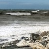
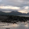
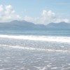
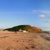
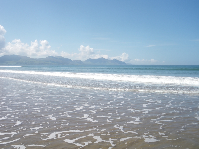
Morfa Dinlle Beach is a large stretch of coastline featuring vast areas of sand from mid-tide level, with natural pebble banks forming the foreshore. The beach offers stunning views towards the Llyn Peninsula (Penrhyn Llyn) and Llanddwyn Island (Ynys Llanddwyn) on Anglesey.
The beach is backed by several cafes, caravan sites, and holiday parks, including a nearby holiday park and Caernarfon Airport. There are car parks along the beach, and facilities include disabled access, a promenade, toilets, and a beach shop. Visitors can enjoy a range of activities, such as kiting, windsurfing, snorkelling, bass fishing, and swimming. The beach has two slipways for speedboats and jet skis.
The area is a designated Site of Special Scientific Interest (SSSI) due to the presence of rare birds, and there are remains of an Iron Age hill fort to the south. Dogs are restricted on the beach between May and September.
Morfa Dinlle Beach has been awarded the prestigious Blue Flag Award and is recommended by the Marine Conservation Society for its pristine waters. In 2021, the beach retained its Blue Flag Status, recognising its high standards of water quality, safety, and environmental management.
Morfa Dinlle Beach is adjacent to the Wales Coast Path.
Sand Pebbles
| Today |  |
|---|---|
| Chance of rain | 100% |
| Max temperature | 16°C |
| feels like | 17°C |
| Wind 31mph |  |
| Max UV Index |  |
| Tonight |  |
|---|---|
| Chance of rain | 68% |
| Min temperature | 11°C |
| feels like | 9°C |
| Wind 34mph |  |
The tide at Morfa Dinlle Beach is currently rising. High tide will be at approximately 9:28 PM, and the next low tide will be at approximately 3:47 AM tomorrow.
Detailed weather and tides » Campsite
 Food available
 Toilets
 Shops
Shops
 Litter bins
 Slipway
There is a car park by the beach.
Dogs not allowed May 1st to September 30th.
Beach cleaned daily
No lifeguard cover at this beach



Excellent water quality
around 2 miles south as the seagull flies, around 4 miles by road.
around 4 miles north-northwest as the seagull flies, around 27 miles by road.
around 7 miles south-southwest as the seagull flies, around 9 miles by road.
around 7 miles north-northeast as the seagull flies, around 10 miles by road.
around 8 miles northwest as the seagull flies, around 30 miles by road.
around 9 miles northeast as the seagull flies, around 12 miles by road.
around 11 miles northwest as the seagull flies, around 32 miles by road.
around 11 miles northwest as the seagull flies, around 31 miles by road.
around 12 miles northwest as the seagull flies, around 31 miles by road.
around 12 miles northwest as the seagull flies, around 31 miles by road.
around 12 miles northeast as the seagull flies, around 16 miles by road.
around 12 miles south as the seagull flies, around 16 miles by road.
around 12 miles south-southeast as the seagull flies, around 15 miles by road.
around 12 miles south-southeast as the seagull flies, around 15 miles by road.
around 13 miles northwest as the seagull flies, around 32 miles by road.
around 13 miles southwest as the seagull flies, around 16 miles by road.
around 13 miles southwest as the seagull flies, around 16 miles by road.
around 13 miles south as the seagull flies, around 17 miles by road.
around 13 miles south-southeast as the seagull flies, around 19 miles by road.
around 14 miles southwest as the seagull flies, around 17 miles by road.
Location: Dinas Dinlle
Location type: Village
OS Grid: SH435567
Coordinates: 53°5'5"N 4°20'14"W
Mapcode: GBR 5F.9NTQ
What 3 Words: boardroom.trusts.cycles
Coordinates and location codes are for an approximate mid-point of the beach, and may not reflect the best access point or the most popular part of the beach.
Country: Wales
Local Authority: Gwynedd
Parish: Llandwrog
Nearest postcode: LL54 5TW
(for sat-nav purposes only, a beach does not have a postal address!)
Important! Beach information is compiled from a variety of different sources and is correct to the best of our knowledge at the time of compilation. However, information may be incorrectly supplied by our sources or go out of date after publication. BritishBeaches.uk makes no warranty as to the accuracy of any information on this page.