Approximate Location Map
Use two fingers to pan or zoom the map
Use two fingers to pan or zoom the map
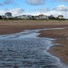
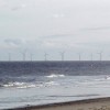
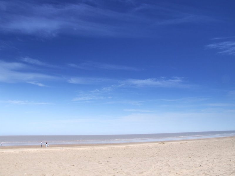
Anderby Beach, also known as Anderby Creek, is a long, sandy beach nestled between Chapel St Leonards to the south and Sandilands and Mablethorpe to the north. The beach is characterised by its sandy shores and dunes, providing a natural and unspoilt environment for visitors to enjoy.
The beach has a car park located on Sandy Lane, with access to the beach via a path that crosses the sand dunes behind the beach. Facilities in the area include toilets, a beach café, a pub with a beer garden, and a shop in the small village of Anderby Creek. There are also several caravan parks in the village, offering accommodation options for holidaymakers.
The village of Anderby is located about a mile inland along the road that leads to the beach. To the north of Chapel St Leonards, Anderby Creek is a popular seaside holiday destination, with various caravan sites, chalet parks, and holiday cottages available for visitors.
The long, sandy beaches along this part of the coastline stretch for many miles, making it an ideal spot for a leisurely walk along the coast. The peaceful and tranquil atmosphere of Anderby Beach makes it an excellent choice for those seeking a relaxing and unspoilt beach experience.
Sand
| Today |  |
|---|---|
| Chance of rain | 89% |
| Max temperature | 14°C |
| feels like | 14°C |
| Wind 15mph |  |
| Max UV Index |  |
| Tonight |  |
|---|---|
| Chance of rain | 76% |
| Min temperature | 7°C |
| feels like | 10°C |
| Wind 24mph |  |
The tide at Anderby Beach is currently rising. High tide will be at approximately 5:17 PM, and the next low tide will be at approximately 11:35 PM.
Detailed weather and tides » Campsite
 Food available
Dogs not allowed May 1st to September 30th.
No lifeguard cover at this beach


Water quality not measured here
less than a mile north-northwest as the seagull flies, around 2 miles by road or just over a mile on foot using coastal paths.
around 3 miles south-southeast as the seagull flies, around 3 miles by road.
around 4 miles north-northwest as the seagull flies, around 5 miles by road.
around 5 miles south-southeast as the seagull flies, around 7 miles by road or 5 miles on foot using coastal paths.
around 6 miles north-northwest as the seagull flies, around 8 miles by road.
around 8 miles south as the seagull flies, around 10 miles by road.
around 23 miles northwest as the seagull flies, around 33 miles by road.
around 25 miles northwest as the seagull flies, around 37 miles by road or 30 miles on foot using coastal paths.
around 22 miles south-southeast as the seagull flies, around 81 miles by road.
around 23 miles south-southeast as the seagull flies, around 80 miles by road.
around 24 miles south-southeast as the seagull flies, around 80 miles by road.
around 25 miles south-southeast as the seagull flies, around 79 miles by road.
around 25 miles south-southeast as the seagull flies, around 79 miles by road.
around 27 miles south as the seagull flies, around 77 miles by road.
around 28 miles southeast as the seagull flies, around 91 miles by road.
around 29 miles southeast as the seagull flies, around 93 miles by road.
Location: Anderby Creek
Location type: Village
OS Grid: TF553761
Coordinates: 53°15'34"N 0°19'40"E
Mapcode: GBR ZZQR.R6
What 3 Words: lease.kiosk.codes
Coordinates and location codes are for an approximate mid-point of the beach, and may not reflect the best access point or the most popular part of the beach.
County: Lincolnshire
Country: England
Local Authority: East Lindsey
Parish: Anderby
Nearest postcode: PE24 5XT
(for sat-nav purposes only, a beach does not have a postal address!)
Important! Beach information is compiled from a variety of different sources and is correct to the best of our knowledge at the time of compilation. However, information may be incorrectly supplied by our sources or go out of date after publication. BritishBeaches.uk makes no warranty as to the accuracy of any information on this page.