Approximate Location Map
Use two fingers to pan or zoom the map
Use two fingers to pan or zoom the map
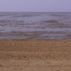
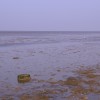
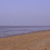
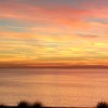
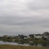
Snettisham Beach is the southern part of an extensive beach that stretches north to Hunstanton, and is notable for being the only beach in Norfolk to face west. This distinctive feature makes it an ideal spot for watching some of the best sunsets in Norfolk, earning it the nickname "the sunset coastline".
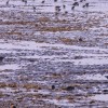
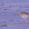
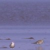
The beach boasts extensive sand and mud banks, which are a popular area for birds, including avocets, knots, and bar-tailed godwit. Visitors can observe these species from the nearby RSPB reserve. Behind the beach, a caravan park and the Snettisham Sailing Club can be found, offering a range of amenities for visitors.
The expansive sands of Snettisham are a natural haven and largely unspoiled. The beach's unique west-facing orientation, a rarity in Norfolk which is generally considered to be on the east coast, makes it a special destination. Despite its attractions, Snettisham beach remains relatively uncrowded, even during peak summer months.
Over the years, erosion has led to the installation of various sea defences along the beach. The placement of timber groynes has had some success in protecting the beach, and some of these structures still remain, making them a popular feature for photographers.
Snettisham Beach is situated on the eastern side of 'the Wash' estuary, near Kings Lynn. Its location makes it a popular choice for summer holidays along the Norfolk coast.
Sand Shingle
| Today |  |
|---|---|
| Chance of rain | 85% |
| Max temperature | 13°C |
| feels like | 13°C |
| Wind 18mph |  |
| Max UV Index |  |
| Tonight |  |
|---|---|
| Chance of rain | 94% |
| Min temperature | 7°C |
| feels like | 9°C |
| Wind 25mph | |
The tide at Snettisham Beach is currently rising. High tide will be at approximately 4:31 AM, and the next low tide will be at approximately 11:38 AM.
Detailed weather and tides » Toilets
Parking available next tot he beach.
Dogs are allowed.
No lifeguard cover at this beach

Water quality not measured here
around 2 miles north-northeast as the seagull flies, around 5 miles by road or 2 miles on foot using coastal paths.
around 3 miles north-northeast as the seagull flies, around 6 miles by road or 3 miles on foot using coastal paths.
around 4 miles north-northeast as the seagull flies, around 7 miles by road or 4 miles on foot using coastal paths.
around 5 miles north-northeast as the seagull flies, around 7 miles by road or 5 miles on foot using coastal paths.
around 6 miles north-northeast as the seagull flies, around 8 miles by road or 6 miles on foot using coastal paths.
around 17 miles east-northeast as the seagull flies, around 19 miles by road.
around 18 miles east-northeast as the seagull flies, around 21 miles by road.
around 26 miles east-northeast as the seagull flies, around 34 miles by road.
around 19 miles north-northwest as the seagull flies, around 68 miles by road.
around 22 miles north as the seagull flies, around 75 miles by road.
around 25 miles north as the seagull flies, around 76 miles by road.
around 27 miles north as the seagull flies, around 78 miles by road.
around 28 miles north as the seagull flies, around 78 miles by road.
Location: Shepherd's Port
Location type: Rural
OS Grid: TF645335
Coordinates: 52°52'26"N 0°26'35"E
Mapcode: GBR N27.YMK
What 3 Words: influence.double.spurring
Coordinates and location codes are for an approximate mid-point of the beach, and may not reflect the best access point or the most popular part of the beach.
County: Norfolk
Country: England
Local Authority: King's Lynn and West Norfolk
Parish: Snettisham
Nearest postcode: PE31 7UT
(for sat-nav purposes only, a beach does not have a postal address!)
Important! Beach information is compiled from a variety of different sources and is correct to the best of our knowledge at the time of compilation. However, information may be incorrectly supplied by our sources or go out of date after publication. BritishBeaches.uk makes no warranty as to the accuracy of any information on this page.