Approximate Location Map
Use two fingers to pan or zoom the map
Use two fingers to pan or zoom the map
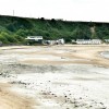
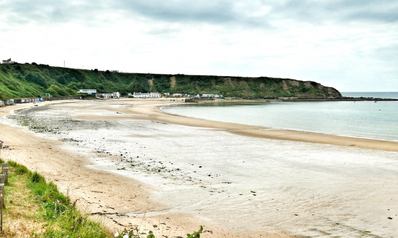
Morfa Nefyn Beach is situated on the north coast of the Llŷn Peninsula, nestled between Snowdonia National Park to the east and Anglesey to the north. The beach is a long, sweeping stretch of sand and shingle, sheltered in the lee of Carreg Ddu headland. This beautiful coastline has largely escaped development, with parts now owned by the National Trust.
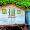
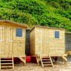
The village of Porthdinllaen runs along the beach front and is car-free, making it an ideal destination for families. Visitors can enjoy a range of amenities, including the Ty Coch (“Red House”) inn, which serves great food and drink right on the waterside. This is a perfect spot to take in the scene and relax with a meal or drink.
Morfa Nefyn Beach is ideal for a long, relaxing day by the sea. The sheltered bay and sandy shoreline make it a perfect spot for a day at the beach, with plenty of space to soak up the sun, go for a swim, or try water sports.
Bay Sand Pebbles
| Tonight |  |
|---|---|
| Chance of rain | 64% |
| Min temperature | 10°C |
| feels like | 8°C |
| Wind 22mph |  |
| Tomorrow |
 |
|---|---|
| Chance of rain | 100% |
| Max temperature | 16°C |
| feels like | 9°C |
| Wind 34mph |  |
| Max UV Index |  |
The tide at Morfa Nefyn Beach is currently rising. High tide will be at approximately 9:18 PM, and the next low tide will be at approximately 4:08 AM tomorrow.
Detailed weather and tides » Food available
 Toilets
There is a National Trust car park to the south of the beach and, further along the outcrop, there is a small car park near the Inn.
Dogs allowed.
No information available

Excellent water quality
just over a mile east as the seagull flies, around 2 miles by road.
just over a mile east as the seagull flies, around 2 miles by road.
around 4 miles southwest as the seagull flies, around 5 miles by road.
around 6 miles south-southeast as the seagull flies, around 9 miles by road.
around 7 miles southeast as the seagull flies, around 8 miles by road.
around 7 miles northeast as the seagull flies, around 10 miles by road.
around 8 miles east-southeast as the seagull flies, around 10 miles by road.
around 8 miles south-southeast as the seagull flies, around 13 miles by road.
around 9 miles south as the seagull flies, around 16 miles by road or 11 miles on foot using coastal paths.
around 9 miles south-southeast as the seagull flies, around 14 miles by road.
around 10 miles southwest as the seagull flies, around 12 miles by road.
around 10 miles east as the seagull flies, around 11 miles by road.
around 11 miles southwest as the seagull flies, around 13 miles by road.
around 12 miles northeast as the seagull flies, around 14 miles by road.
around 14 miles northeast as the seagull flies, around 17 miles by road.
around 14 miles east as the seagull flies, around 15 miles by road.
around 14 miles east as the seagull flies, around 16 miles by road.
around 15 miles east as the seagull flies, around 20 miles by road.
around 16 miles north-northeast as the seagull flies, around 41 miles by road.
around 16 miles east as the seagull flies, around 24 miles by road or 19 miles on foot using coastal paths.
Location: Morfa Nefyn
Location type: Village
OS Grid: SH282408
Coordinates: 52°56'14"N 4°33'23"W
Mapcode: GBR 54.LX7P
What 3 Words: moves.smarting.trip
Coordinates and location codes are for an approximate mid-point of the beach, and may not reflect the best access point or the most popular part of the beach.
Country: Wales
Local Authority: Gwynedd
Parish: Nefyn
Nearest postcode: LL53 6BY
(for sat-nav purposes only, a beach does not have a postal address!)
Important! Beach information is compiled from a variety of different sources and is correct to the best of our knowledge at the time of compilation. However, information may be incorrectly supplied by our sources or go out of date after publication. BritishBeaches.uk makes no warranty as to the accuracy of any information on this page.