Approximate Location Map
Use two fingers to pan or zoom the map
Use two fingers to pan or zoom the map
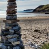
Penally Beach is approximately 1 km across, facing south-east over Carmarthen Bay, and is backed by sand dunes, a golf course, and the village of Penally. The beach is an undeveloped stretch of sand, mainly sandy with occasional shingle, and at low tide, it links to the more popular Tenby South and Castle Beach.
The bathing water lies within 1 km of the Carmarthen Bay and Estuaries Special Area of Conservation, and the surrounding area forms part of the Lydstep Head to Tenby Burrows Site of Special Scientific Interest. The bathing water is also located within Pembrokeshire Coast National Park, highlighting the environmental value of the area.
The Pembrokeshire Coast Path and the Wales Coast Path pass adjacent to the beach, making it popular with dog walkers throughout the year. From the beach, there are views across Carmarthen Bay towards Caldey Island, which lies approximately one kilometre offshore. This rocky island has been inhabited since the Stone Age and contains a number of interesting archaeological sites as well as being rich in flora and fauna.
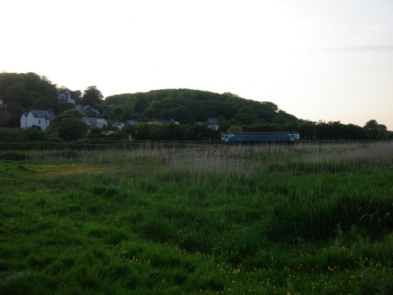
Free parking with toilets can be found at Penally Railway Station. From here, a pathway leads past the golf course to the beach, although this pathway is closed when the adjacent MOD firing range is in use.
Tenby South Beach, stretching over 1.5 miles southwards to Giltar Point and Penally, is the longest of Tenby's beaches. The sandy beach is backed by dunes, and the coastal path runs directly along the beach. The beach is ideal for long walks, jogging, or finding a quiet spot away from the crowds.
Penally Beach is adjacent to the Pembrokeshire Coast Path and the Wales Coast Path.
Sand
| Today |  |
|---|---|
| Chance of rain | 100% |
| Max temperature | 16°C |
| feels like | 17°C |
| Wind 37mph |  |
| Max UV Index |  |
| Tonight |  |
|---|---|
| Chance of rain | 100% |
| Min temperature | 11°C |
| feels like | 10°C |
| Wind 35mph |  |
The tide at Penally Beach is currently rising. High tide will be at approximately 5:36 PM, and the next low tide will be at approximately 11:53 PM.
Detailed weather and tides » Campsite
 Food available
 Toilets
 Shops
Shops
 Litter bins
Parking is available near the beach.
Dogs are allowed but Tenby has restrictions on dogs during the season, between May and September.
Beach manually cleaned daily by the council.
No lifeguard cover at this beach



Excellent water quality
less than a mile north-northeast as the seagull flies, around 3 miles by road or less than a mile on foot using coastal paths.
just over a mile northeast as the seagull flies, around 3 miles by road or just over a mile on foot using coastal paths.
just over a mile north-northeast as the seagull flies, around 2 miles by road.
around 2 miles west-southwest as the seagull flies, around 3 miles by road.
around 2 miles north-northeast as the seagull flies, around 3 miles by road.
around 3 miles west-southwest as the seagull flies, around 4 miles by road.
around 3 miles north-northeast as the seagull flies, around 5 miles by road.
around 4 miles north-northeast as the seagull flies, around 5 miles by road.
around 4 miles north as the seagull flies, around 6 miles by road.
around 4 miles west-southwest as the seagull flies, around 5 miles by road.
around 4 miles north-northeast as the seagull flies, around 6 miles by road.
around 5 miles north-northeast as the seagull flies, around 7 miles by road.
around 5 miles west as the seagull flies, around 6 miles by road.
around 6 miles north-northeast as the seagull flies, around 9 miles by road.
around 6 miles west as the seagull flies, around 10 miles by road or 8 miles on foot using coastal paths.
around 8 miles northeast as the seagull flies, around 14 miles by road.
around 9 miles west-southwest as the seagull flies, around 12 miles by road.
around 9 miles northeast as the seagull flies, around 20 miles by road.
around 9 miles west-southwest as the seagull flies, around 17 miles by road or 12 miles on foot using coastal paths.
around 10 miles west-northwest as the seagull flies, around 14 miles by road.
Location: Penalum (Penally)
Location type: Village
OS Grid: SS122988
Coordinates: 51°39'26"N 4°42'54"W
Mapcode: GBR GF.8L8V
What 3 Words: detriment.tucked.recover
Coordinates and location codes are for an approximate mid-point of the beach, and may not reflect the best access point or the most popular part of the beach.
Country: Wales
Local Authority: Pembrokeshire
Parish: Tenby
Nearest postcode: SA70 7PS
(for sat-nav purposes only, a beach does not have a postal address!)
Important! Beach information is compiled from a variety of different sources and is correct to the best of our knowledge at the time of compilation. However, information may be incorrectly supplied by our sources or go out of date after publication. BritishBeaches.uk makes no warranty as to the accuracy of any information on this page.