Approximate Location Map
Use two fingers to pan or zoom the map
Use two fingers to pan or zoom the map
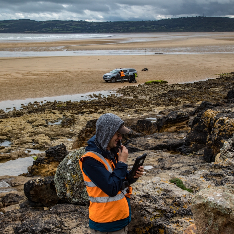
St Davids Beach is situated on the east coast of Anglesey, to the east of Benllech and to the west side of Red Wharf Bay. The beach is sandy in nature and is located within the Anglesey Area of Outstanding Natural Beauty and the Trwyn Dwlban Site of Special Scientific Interest. It is also close to the Menai Straits and Conwy Bay Special Area of Conservation.
Access to St Davids Beach is via the coast path from Benllech, as there is limited parking available close by, except for residents of the nearby holiday park. The beach is located at the eastern end of Benllech beach, around the headland and towards the mouth of Red Wharf Bay.
St Davids Beach is a popular spot for families, with excellent water for swimming, and is perfect for walking and beach games. There is a campsite located on the hill overlooking the beach, and nearby shops and cafes provide refreshments.
Sand
| Today |  |
|---|---|
| Chance of rain | 99% |
| Max temperature | 15°C |
| feels like | 16°C |
| Wind 24mph |  |
| Max UV Index |  |
| Tonight |  |
|---|---|
| Chance of rain | 43% |
| Min temperature | 11°C |
| feels like | 12°C |
| Wind 23mph |  |
The tide at St Davids Beach is currently falling. Low tide will be at approximately 4:59 PM, and the next high tide will be at approximately 10:48 PM.
 Today's air pollution levels are forecast to be Low
 Food available
There is a car park next to the beach.
Dog restrictions apply.
No lifeguard cover at this beach



Excellent water quality
less than a mile west-northwest as the seagull flies, less than a mile by road.
less than a mile south as the seagull flies, less than a mile by road.
just over a mile south-southeast as the seagull flies, around 3 miles by road.
around 2 miles east-southeast as the seagull flies, around 9 miles by road or 4 miles on foot using coastal paths.
around 3 miles north-northwest as the seagull flies, around 5 miles by road.
around 4 miles northwest as the seagull flies, around 6 miles by road.
around 6 miles east-southeast as the seagull flies, around 11 miles by road.
around 6 miles southeast as the seagull flies, around 9 miles by road.
around 6 miles south-southeast as the seagull flies, around 8 miles by road.
around 8 miles north-northwest as the seagull flies, around 11 miles by road.
around 9 miles south as the seagull flies, around 12 miles by road.
around 10 miles east-southeast as the seagull flies, around 19 miles by road.
around 10 miles south as the seagull flies, around 14 miles by road.
around 10 miles northwest as the seagull flies, around 13 miles by road.
around 12 miles east-southeast as the seagull flies, around 21 miles by road.
around 12 miles northwest as the seagull flies, around 16 miles by road.
around 12 miles northwest as the seagull flies, around 16 miles by road.
around 14 miles west-northwest as the seagull flies, around 18 miles by road.
around 14 miles south-southwest as the seagull flies, around 19 miles by road.
around 14 miles southwest as the seagull flies, around 18 miles by road.
Location: Red Wharf Bay
Location type: Village
OS Grid: SH533819
Coordinates: 53°18'50"N 4°12'10"W
Mapcode: GBR HMZY.CGR
What 3 Words: nimbly.cool.stag
Coordinates and location codes are for an approximate mid-point of the beach, and may not reflect the best access point or the most popular part of the beach.
Country: Wales
Local Authority: Isle of Anglesey
Parish: Llanfair-Mathafarn-Eithaf
Nearest postcode: LL75 8RJ
(for sat-nav purposes only, a beach does not have a postal address!)
Important! Beach information is compiled from a variety of different sources and is correct to the best of our knowledge at the time of compilation. However, information may be incorrectly supplied by our sources or go out of date after publication. BritishBeaches.uk makes no warranty as to the accuracy of any information on this page.