Approximate Location Map
Use two fingers to pan or zoom the map
Use two fingers to pan or zoom the map
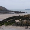
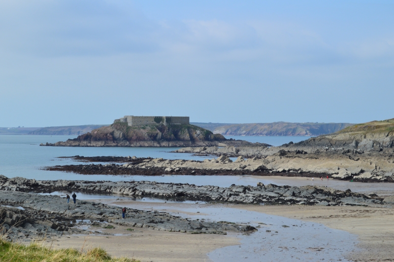
West Angle Bay Beach is a small stretch of sand, measuring approximately 250 metres in length, with limestone rocks on either side. The beach is situated within Milford Haven Waterway, just west of its larger neighbour, Angle Bay. The surrounding land is predominantly agricultural, with an oil refinery located 4 kilometres east of the bay.
The coastal waters of West Angle Beach form part of the Pembrokeshire Marine Special Area of Conservation, confirming the high conservation status of the area. The bathing water also lies within Pembrokeshire Coast National Park.
The beach is popular for swimming, walking, and rockpooling. Visitors can also enjoy watching ships pass by the bay, including the Irish ferry and tankers travelling to Milford Haven. The nearby village of Angle offers local amenities, and is within walking distance of the beach. Parking is available close to the beach, as well as a cafe serving food and drink.
West Angle Bay was the scene of a shipwreck in 1808, when the HMS Leda ran aground. There are no dog restrictions on the beach, making it a great destination for families and pet owners alike.
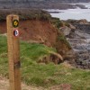
West Angle Beach is adjacent to the Pembrokeshire Coast Path and the Wales Coast Path.
Sand Rock
| Today |  |
|---|---|
| Chance of rain | 79% |
| Max temperature | 13°C |
| feels like | 10°C |
| Wind 31mph |  |
| Max UV Index |  |
| Tonight |  |
|---|---|
| Chance of rain | 89% |
| Min temperature | 11°C |
| feels like | 5°C |
| Wind 17mph |  |
The tide at West Angle Beach is currently falling. Low tide will be at approximately 9:21 AM, and the next high tide will be at approximately 3:33 PM.
 Today's air pollution levels are forecast to be Low
 Food available
 Toilets
 Slipway
Free parking available.
Dogs are allowed.
No lifeguard cover at this beach


Excellent water quality
around 2 miles north-northwest as the seagull flies, around 24 miles by road.
around 2 miles west-northwest as the seagull flies, around 31 miles by road.
around 3 miles north as the seagull flies, around 22 miles by road.
around 3 miles northeast as the seagull flies, around 20 miles by road.
around 3 miles southeast as the seagull flies, around 4 miles by road.
around 3 miles west-northwest as the seagull flies, around 29 miles by road.
around 4 miles west-northwest as the seagull flies, around 30 miles by road.
around 5 miles west-northwest as the seagull flies, around 29 miles by road.
around 6 miles northwest as the seagull flies, around 27 miles by road.
around 6 miles north as the seagull flies, around 25 miles by road.
around 7 miles north as the seagull flies, around 24 miles by road.
around 7 miles west-northwest as the seagull flies, around 31 miles by road.
around 7 miles east as the seagull flies, around 15 miles by road.
around 9 miles north as the seagull flies, around 26 miles by road.
around 10 miles north as the seagull flies, around 31 miles by road.
around 10 miles east-southeast as the seagull flies, around 12 miles by road.
around 10 miles east-southeast as the seagull flies, around 13 miles by road.
around 11 miles east-southeast as the seagull flies, around 14 miles by road.
around 12 miles north as the seagull flies, around 30 miles by road.
around 12 miles east-southeast as the seagull flies, around 15 miles by road.
Location: Angle
Location type: Village
OS Grid: SM853031
Coordinates: 51°41'8"N 5°6'25"W
Mapcode: GBR G4.HYLH
What 3 Words: always.shuffles.wisely
Coordinates and location codes are for an approximate mid-point of the beach, and may not reflect the best access point or the most popular part of the beach.
Country: Wales
Local Authority: Pembrokeshire
Parish: Angle
Nearest postcode: SA71 5BE
(for sat-nav purposes only, a beach does not have a postal address!)
Important! Beach information is compiled from a variety of different sources and is correct to the best of our knowledge at the time of compilation. However, information may be incorrectly supplied by our sources or go out of date after publication. BritishBeaches.uk makes no warranty as to the accuracy of any information on this page.