Approximate Location Map
Use two fingers to pan or zoom the map
Use two fingers to pan or zoom the map
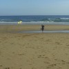
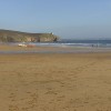
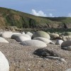
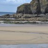
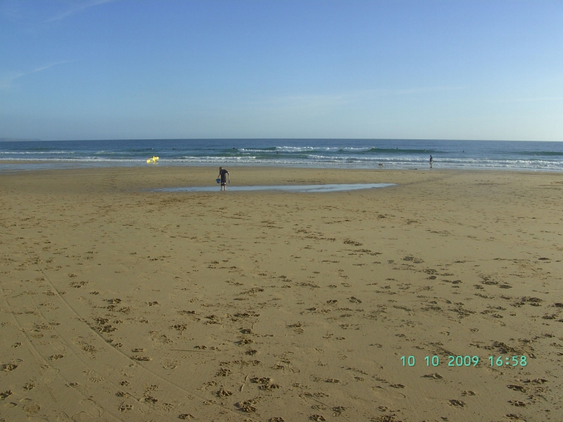
Praa Sands West Beach is a mile long sandy beach with some rocky patches, stretching approximately 1.3 kilometres wide and backed by sand dunes. The beach has two distinct ends: the eastern end, which has many rocks and pools, and the western end, which has fewer rocks and is home to the majority of the amenities.
The western end of the beach is where visitors can find car parks, cafes, and a lifeguard service during the summer months. The beach is popular with both families and surfers, as it picks up the southerly swells. The surf tends to be smaller during the summer, making it an ideal time for families to visit.
In addition to Praa Sands West Beach, visitors may also want to explore the nearby Gurnards Head Beach, which is a dramatic coastline featuring the ruins of the Gurnards Head Mine, abundant wildlife, and streams trickling down to the boulder-strewn beach.
The beach's characteristics vary along its length, with the eastern end having a wilder feel and no parking, while the western end is more developed with amenities clustered together. The Germoe Stream flows across the beach to the sea at the western end.
Praa Sands West Beach is adjacent to the South West Coast Path.
Sand
| Today |  |
|---|---|
| Chance of rain | 13% |
| Max temperature | 14°C |
| feels like | 13°C |
| Wind 13mph |  |
| Max UV Index |  |
| Tonight |  |
|---|---|
| Chance of rain | 55% |
| Min temperature | 13°C |
| feels like | 10°C |
| Wind 18mph |  |
The tide at Praa Sands West Beach is currently rising. High tide will be at approximately 3:48 AM, and the next low tide will be at approximately 10:22 AM.
 Today's air pollution levels are forecast to be Low
 Campsite
 Food available
 Toilets
 Shops
Shops
 Litter bins
 Slipway
There is a 500 space car park available at the beach. There is a charge for using this car park.
Dogs are not allowed between Easter Sunday and 30th September (7:00am-7:00pm).
Beach manually cleaned daily during the summer.

Daily - 30th April - 25th September
Weekends - 16th - 24th April; 1st - 16th October
Easter - 28th March - 10th April
Oct half term - 22nd - 30th October


Water quality not measured here
less than a mile east-southeast as the seagull flies, less than a mile by road.
just over a mile east-southeast as the seagull flies, around 4 miles by road or 2 miles on foot using coastal paths.
around 2 miles west-northwest as the seagull flies, around 4 miles by road.
around 4 miles east-southeast as the seagull flies, around 6 miles by road.
around 4 miles west-northwest as the seagull flies, around 5 miles by road.
around 4 miles west-northwest as the seagull flies, around 5 miles by road.
around 6 miles west-northwest as the seagull flies, around 7 miles by road.
around 6 miles west-northwest as the seagull flies, around 8 miles by road.
around 6 miles west as the seagull flies, around 8 miles by road.
around 7 miles west-southwest as the seagull flies, around 13 miles by road.
around 7 miles southeast as the seagull flies, around 12 miles by road or 9 miles on foot using coastal paths.
around 7 miles west as the seagull flies, around 9 miles by road.
around 7 miles north-northwest as the seagull flies, around 12 miles by road.
around 7 miles southeast as the seagull flies, around 12 miles by road or 9 miles on foot using coastal paths.
around 7 miles north-northwest as the seagull flies, around 14 miles by road or 10 miles on foot using coastal paths.
around 7 miles southeast as the seagull flies, around 12 miles by road or 9 miles on foot using coastal paths.
around 7 miles north as the seagull flies, around 14 miles by road or 11 miles on foot using coastal paths.
around 7 miles north-northwest as the seagull flies, around 12 miles by road.
around 7 miles southeast as the seagull flies, around 13 miles by road or 10 miles on foot using coastal paths.
around 8 miles north as the seagull flies, around 13 miles by road or 10 miles on foot using coastal paths.
Location: Pengersick
Location type: Village
OS Grid: SW576280
Coordinates: 50°6'9"N 5°23'27"W
Mapcode: GBR FX2D.TQC
What 3 Words: dishing.inflating.titles
Coordinates and location codes are for an approximate mid-point of the beach, and may not reflect the best access point or the most popular part of the beach.
Country: England
Local Authority: Cornwall
Parish: Breage
Nearest postcode: TR20 9TQ
(for sat-nav purposes only, a beach does not have a postal address!)
Important! Beach information is compiled from a variety of different sources and is correct to the best of our knowledge at the time of compilation. However, information may be incorrectly supplied by our sources or go out of date after publication. BritishBeaches.uk makes no warranty as to the accuracy of any information on this page.