Approximate Location Map
Use two fingers to pan or zoom the map
Use two fingers to pan or zoom the map
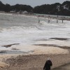
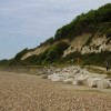
Steamer Point is located between Friar's Cliff and Highcliffe Castle, providing outstanding views from the cliff tops to the beach below and out over Hengistbury Head in one direction and the Isle of Wight in the other. The nature reserve is comprised of woodland and aquatic habitats, supporting a wide variety of flora and fauna. The site features trails through the woodland, two ponds, picnic areas with benches overlooking the sea, and an award-winning information point offering fun activities for children.
The site of the nature reserve was once part of the gardens and grounds of Highcliffe Castle, which was planted with exotic plants from around the world. In modern times, efforts have been made to replace exotic species with native plants and trees. The beach got its name, Steamer Point, from an old paddle steamer that was beached in an inlet on the beach around 1830, which was used as a site office for castle builders.
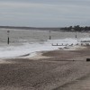
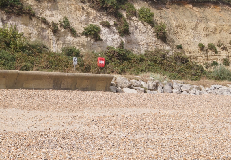
The sand and shingle beach below the cliffs is generally fairly quiet and remains largely undeveloped. At low tide, a good expanse of sand is exposed. The beach can be accessed either from Highcliffe Castle or by taking the mile-long path from Friar's Cliff Beach. For much of the length of the beach, a raised promenade runs along the base of the cliffs. The beach has been designated as an area for water sports.
There is no wheelchair access to the beach. Car parking is available at Seaway Ave. Dogs are welcome on this beach all year round but must be kept under control at all times. Highcliffe Castle and Friars Cliff beach are a short walk away. Friars Cliff is a sand and shingle beach with a cafe for refreshments, amenities including showers and toilets, and beach huts along the seafront.
Sand Shingle
| Today |  |
|---|---|
| Chance of rain | 100% |
| Max temperature | 17°C |
| feels like | 18°C |
| Wind 26mph |  |
| Max UV Index |  |
| Tonight |  |
|---|---|
| Chance of rain | 86% |
| Min temperature | 16°C |
| feels like | 12°C |
| Wind 28mph |  |
The tide at Christchurch Steamer Point is currently falling. Low tide will be at approximately 5:09 PM, and the next high tide will be at approximately 9:51 PM.
Detailed weather and tides »Pay parking for 200 cars.
Beach cleaned regularly.
No lifeguard cover at this beach

Water quality not measured here
less than a mile west-southwest as the seagull flies, less than a mile by road.
less than a mile east-northeast as the seagull flies, just over a mile by road or less than a mile on foot using coastal paths.
less than a mile southwest as the seagull flies, less than a mile by road or less than a mile on foot using coastal paths.
less than a mile east-northeast as the seagull flies, around 2 miles by road or less than a mile on foot using coastal paths.
just over a mile southwest as the seagull flies, around 2 miles by road or just over a mile on foot using coastal paths.
around 3 miles east as the seagull flies, around 4 miles by road or 3 miles on foot using coastal paths.
around 6 miles east as the seagull flies, around 7 miles by road.
around 17 miles east-northeast as the seagull flies, around 24 miles by road.
around 19 miles east-northeast as the seagull flies, around 27 miles by road.
just over a mile southwest as the seagull flies, around 2 miles by road.
around 2 miles southwest as the seagull flies, around 2 miles by road.
around 2 miles west-southwest as the seagull flies, around 5 miles by road or 3 miles on foot using coastal paths.
around 3 miles west-southwest as the seagull flies, around 5 miles by road.
around 4 miles west-southwest as the seagull flies, around 5 miles by road.
around 5 miles west-southwest as the seagull flies, around 6 miles by road.
around 5 miles west-southwest as the seagull flies, around 7 miles by road.
around 6 miles west as the seagull flies, around 7 miles by road.
around 7 miles west as the seagull flies, around 8 miles by road.
around 7 miles west-southwest as the seagull flies, around 10 miles by road.
around 8 miles west-southwest as the seagull flies, around 11 miles by road.
Location: Friars Cliff, Christchurch
Location type: Urban
OS Grid: SZ196927
Coordinates: 50°44'3"N 1°43'23"W
Mapcode: GBR 55D.WQG
What 3 Words: noses.pushy.larger
Coordinates and location codes are for an approximate mid-point of the beach, and may not reflect the best access point or the most popular part of the beach.
County: Dorset
Country: England
Local Authority: Christchurch
Nearest postcode: BH23 4JQ
(for sat-nav purposes only, a beach does not have a postal address!)
Important! Beach information is compiled from a variety of different sources and is correct to the best of our knowledge at the time of compilation. However, information may be incorrectly supplied by our sources or go out of date after publication. BritishBeaches.uk makes no warranty as to the accuracy of any information on this page.