Approximate Location Map
Use two fingers to pan or zoom the map
Use two fingers to pan or zoom the map
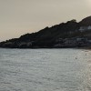
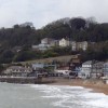
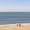
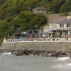
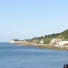
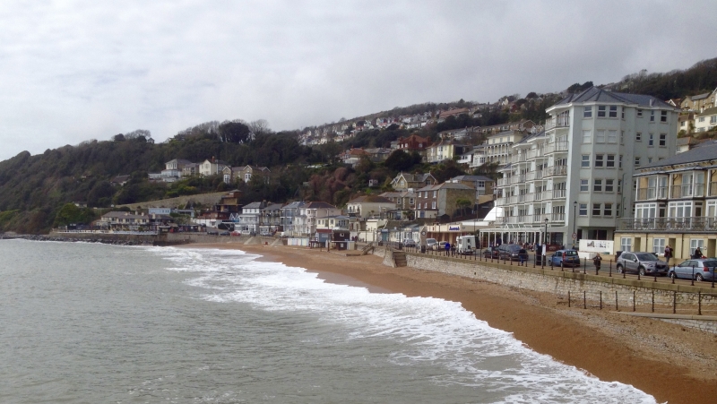
Ventnor Beach is a sandy bay sheltered by high cliffs, on which the Victorian town is built. The beach is maintained and observed by local longshoremen for visitor safety. The town's unique micro-climate, being a suntrap bay, makes it an attractive destination for those seeking sunshine.
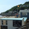
The town of Ventnor is built into the steep slopes and cliffs of St Boniface Down, the highest point on the Isle of Wight. A steep road winds down from the town, past the famous Cascade Gardens, to the seafront. Visitors can stroll along the shingled beach, take a cliff walk, and enjoy the fantastic views of the bay. The south-facing seafront boasts a lovely sand and shingle beach, accompanied by pubs, cafes, amusements, a paddling pool, and a car park.
The recently constructed Ventnor Haven has become a popular venue, supporting the local fishing industry and attracting both residents and visitors.
Ventnor Beach is adjacent to the Isle of Wight Coast Path.
Sand Shingle
| Today |  |
|---|---|
| Chance of rain | 35% |
| Max temperature | 15°C |
| feels like | 14°C |
| Wind 22mph |  |
| Max UV Index |  |
| Tonight |  |
|---|---|
| Chance of rain | 99% |
| Min temperature | 13°C |
| feels like | 11°C |
| Wind 33mph |  |
The tide at Ventnor Beach is currently falling. Low tide will be at approximately 2:29 PM, and the next high tide will be at approximately 9:28 PM.
 Today's air pollution levels are forecast to be Low
 Food available
 Toilets
 Shops
Shops
 Slipway
Parking available.
Dogs not allowed between 1st May and 30th September.
Beach is cleaned regularly.
No lifeguard cover at this beach



Water quality not measured here
around 3 miles north-northeast as the seagull flies, around 5 miles by road.
around 4 miles north-northeast as the seagull flies, around 5 miles by road.
around 5 miles north-northeast as the seagull flies, around 7 miles by road.
around 6 miles north-northeast as the seagull flies, around 8 miles by road.
around 7 miles northeast as the seagull flies, around 11 miles by road.
around 9 miles north-northeast as the seagull flies, around 11 miles by road.
around 9 miles northeast as the seagull flies, around 12 miles by road.
around 10 miles north-northeast as the seagull flies, around 13 miles by road.
around 10 miles north-northeast as the seagull flies, around 14 miles by road.
around 10 miles north-northeast as the seagull flies, around 13 miles by road.
around 10 miles north as the seagull flies, around 13 miles by road.
around 12 miles west-northwest as the seagull flies, around 15 miles by road.
around 13 miles north-northwest as the seagull flies, around 16 miles by road.
around 13 miles north-northwest as the seagull flies, around 17 miles by road.
around 15 miles west-northwest as the seagull flies, around 21 miles by road.
around 15 miles west-northwest as the seagull flies, around 20 miles by road.
around 16 miles west-northwest as the seagull flies, around 20 miles by road.
around 16 miles west-northwest as the seagull flies, around 20 miles by road.
around 12 miles north-northwest as the seagull flies, around 15 miles by road.
around 13 miles north as the seagull flies, around 35 miles by road or 21 miles on foot using coastal paths.
Location: Ventnor
Location type: Town
OS Grid: SZ561773
Coordinates: 50°35'35"N 1°12'27"W
Mapcode: GBR 9F4.MH2
What 3 Words: venues.snows.proclaims
Coordinates and location codes are for an approximate mid-point of the beach, and may not reflect the best access point or the most popular part of the beach.
Country: England
Local Authority: Isle of Wight
Parish: Ventnor
Nearest postcode: PO38 1JP
(for sat-nav purposes only, a beach does not have a postal address!)
Important! Beach information is compiled from a variety of different sources and is correct to the best of our knowledge at the time of compilation. However, information may be incorrectly supplied by our sources or go out of date after publication. BritishBeaches.uk makes no warranty as to the accuracy of any information on this page.