Approximate Location Map
Use two fingers to pan or zoom the map
Use two fingers to pan or zoom the map
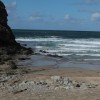
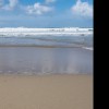
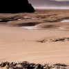
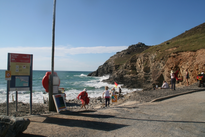
Chapel Porth Beach is situated approximately three kilometres from St Agnes and is a small sand and shingle cove at high tide, approximately 130 metres wide. At low tide, a large stretch of sandy beach, approximately one kilometre wide, is exposed between Tubby's Head and the neighbouring beach at Porthtowan.
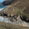
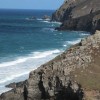
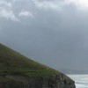
The beach is backed by large moorland-covered cliffs, dotted with caves and several natural arches. At the north end of the beach, the cliffs are home to the remains of Wheal Coates, a historic tin mine and one of Cornwall's most iconic old mining ruins.
The beach has a small seasonal cafe at the back of the car park, known for its 'Hedgehog' ice-cream wrapped in clotted cream and hazelnuts, as well as toilet facilities. The surfing at Chapel Porth is considered to be very good, and the beach offers great coastal walks with spectacular views. Visitors can also explore the caves and walk south along the beach to nearby Porthtowan when the tide is out.
At very low tides, Chapel Porth Beach connects with Porthtowan Beach, although visitors are advised to be cautious when walking across, as there is only a small window of opportunity and the sand is backed by steep cliffs.
Chapel Porth Beach is on the St Agnes Heritage Coast, and adjacent to the South West Coast Path.
Sand
| Today |  |
|---|---|
| Chance of rain | 44% |
| Max temperature | 18°C |
| feels like | 20°C |
| Wind 7mph |  |
| Max UV Index |  |
| Tonight |  |
|---|---|
| Chance of rain | 65% |
| Min temperature | 15°C |
| feels like | 14°C |
| Wind 14mph |  |
The tide at Chapel Porth Beach is currently rising. High tide will be at approximately 2:15 AM, and the next low tide will be at approximately 8:46 AM.
 Today's air pollution levels are forecast to be Low
 Food available
 Toilets
Pay & display National Trust car park - free for members.
Seasonal ban in place between Easter Sunday and 30th September.
Everyone helps keep the beaches clean in summer. Monthly beach cleans in the winter.

Daily - 21st May - 25th September

Water quality not measured here
less than a mile south-southwest as the seagull flies, around 4 miles by road or just over a mile on foot using coastal paths.
around 2 miles northeast as the seagull flies, around 3 miles by road or 2 miles on foot using coastal paths.
around 4 miles southwest as the seagull flies, around 7 miles by road or 5 miles on foot using coastal paths.
around 5 miles northeast as the seagull flies, around 6 miles by road.
around 6 miles northeast as the seagull flies, around 8 miles by road.
around 8 miles north-northeast as the seagull flies, around 11 miles by road.
around 8 miles north-northeast as the seagull flies, around 13 miles by road.
around 9 miles southwest as the seagull flies, around 13 miles by road.
around 9 miles southwest as the seagull flies, around 14 miles by road.
around 9 miles northeast as the seagull flies, around 15 miles by road.
around 9 miles southwest as the seagull flies, around 14 miles by road.
around 10 miles southwest as the seagull flies, around 19 miles by road or 13 miles on foot using coastal paths.
around 10 miles northeast as the seagull flies, around 14 miles by road.
around 10 miles northeast as the seagull flies, around 14 miles by road.
around 10 miles southwest as the seagull flies, around 19 miles by road or 14 miles on foot using coastal paths.
around 11 miles northeast as the seagull flies, around 14 miles by road.
around 11 miles southwest as the seagull flies, around 19 miles by road or 14 miles on foot using coastal paths.
around 11 miles southeast as the seagull flies, around 15 miles by road.
around 11 miles northeast as the seagull flies, around 14 miles by road.
around 11 miles northeast as the seagull flies, around 14 miles by road.
Location: Goonvrea
Location type: Rural
Nearest village: Porthtowan
OS Grid: SW697495
Coordinates: 50°18'2"N 5°14'6"W
Mapcode: GBR Z3.81YG
What 3 Words: emotional.owned.hardens
Coordinates and location codes are for an approximate mid-point of the beach, and may not reflect the best access point or the most popular part of the beach.
Country: England
Local Authority: Cornwall
Parish: St. Agnes
Nearest postcode: TR5 0NS
(for sat-nav purposes only, a beach does not have a postal address!)
Important! Beach information is compiled from a variety of different sources and is correct to the best of our knowledge at the time of compilation. However, information may be incorrectly supplied by our sources or go out of date after publication. BritishBeaches.uk makes no warranty as to the accuracy of any information on this page.