Approximate Location Map
Use two fingers to pan or zoom the map
Use two fingers to pan or zoom the map
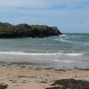
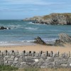
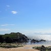
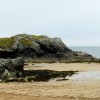
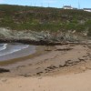
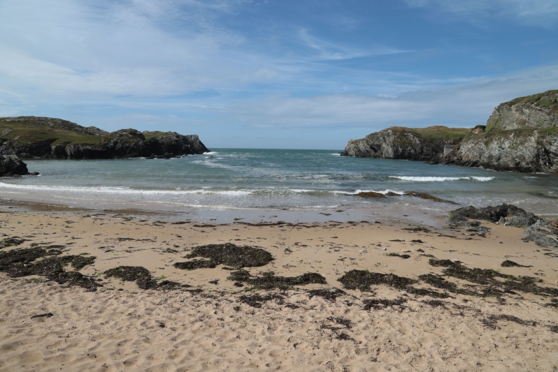
Porth Dafarch Beach is a sheltered sandy beach situated on the south coast of Holy Island, Anglesey, backed by cliffs and in close proximity to campsites. The beach boasts a marked bathing area, making it an ideal spot for swimming and sunbathing. The beach is surrounded by rocky headlands, providing a safe anchorage for yachts and offering excellent opportunities for rockpooling and rambling.
The beach has a range of facilities, including parking, public toilets, and a slipway ramp onto the beach, making it easily accessible for visitors, including those with disabilities. The facilities are open during the season, which runs from 15th March to 30th September. Porth Dafarch Beach is popular with water sports enthusiasts, particularly those interested in windsurfing, surfing, canoeing, sailing, and jet skiing. The beach is also a favourite among scuba divers, with the 1886 wreck of the steamer Missouri located approximately half a mile offshore.
The beach is owned by the National Trust and has been awarded Blue Flag status, indicating its high water quality and excellent facilities. Although there is no lifeguard service, a beach warden is on duty during the summer months. The nearby town of Holyhead offers a range of amenities and attractions, and there are several holiday parks and cottages available for rent in the area.
Porth Dafarch Beach is adjacent to the Anglesey Coast Path and the Wales Coast Path.
Cove Sand
| Today |  |
|---|---|
| Chance of rain | 100% |
| Max temperature | 16°C |
| feels like | 17°C |
| Wind 34mph |  |
| Max UV Index |  |
| Tonight | |
|---|---|
| Chance of rain | 100% |
| Min temperature | 13°C |
| feels like | 10°C |
| Wind 39mph |  |
The tide at Porth Dafarch Beach is currently rising. High tide will be at approximately 10:18 AM, and the next low tide will be at approximately 4:44 PM.
Detailed weather and tides » Campsite
 Toilets
 Litter bins
 Slipway
There is free parking for 30 cars by the beach.
Dogs not allowed May 1st to September 30th.
Beach cleaned daily
No lifeguard cover at this beach



Excellent water quality
around 2 miles east-southeast as the seagull flies, around 2 miles by road.
around 2 miles north-northeast as the seagull flies, around 3 miles by road or 3 miles on foot using coastal paths.
around 4 miles southeast as the seagull flies, around 5 miles by road.
around 5 miles southeast as the seagull flies, around 6 miles by road.
around 5 miles northeast as the seagull flies, around 12 miles by road.
around 6 miles northeast as the seagull flies, around 13 miles by road.
around 7 miles southeast as the seagull flies, around 15 miles by road or 10 miles on foot using coastal paths.
around 7 miles north-northeast as the seagull flies, around 15 miles by road.
around 7 miles southeast as the seagull flies, around 15 miles by road or 11 miles on foot using coastal paths.
around 8 miles southeast as the seagull flies, around 14 miles by road or 11 miles on foot using coastal paths.
around 8 miles southeast as the seagull flies, around 14 miles by road or 11 miles on foot using coastal paths.
around 8 miles southeast as the seagull flies, around 15 miles by road.
around 10 miles northeast as the seagull flies, around 17 miles by road.
around 11 miles southeast as the seagull flies, around 18 miles by road.
around 12 miles northeast as the seagull flies, around 18 miles by road.
around 12 miles northeast as the seagull flies, around 19 miles by road.
around 15 miles southeast as the seagull flies, around 25 miles by road.
around 15 miles northeast as the seagull flies, around 22 miles by road.
around 17 miles east-northeast as the seagull flies, around 23 miles by road.
around 17 miles east-northeast as the seagull flies, around 25 miles by road.
Location: Kingsland,
Location type: Rural
OS Grid: SH233799
Coordinates: 53°17'12"N 4°39'3"W
Mapcode: GBR GNW0.JBG
What 3 Words: bared.pitchers.mothering
Coordinates and location codes are for an approximate mid-point of the beach, and may not reflect the best access point or the most popular part of the beach.
Country: Wales
Local Authority: Isle of Anglesey
Parish: Trearddur
Nearest postcode: LL65 2LS
(for sat-nav purposes only, a beach does not have a postal address!)
Important! Beach information is compiled from a variety of different sources and is correct to the best of our knowledge at the time of compilation. However, information may be incorrectly supplied by our sources or go out of date after publication. BritishBeaches.uk makes no warranty as to the accuracy of any information on this page.