Approximate Location Map
Use two fingers to pan or zoom the map
Use two fingers to pan or zoom the map
Man Sands is situated between Sharkham and Crabrock points, and is only accessible by foot. The beach can be reached via the South West Coast Path, which has some steep sections, or by walking approximately 1km from the car park at Woodhuish Lane. Due to the lack of nearby parking and the need for a footpath approach, access to the beach is not recommended for those with mobility problems.
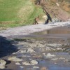
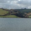
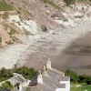
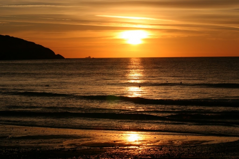
Man Sands is a pebble beach with sand exposed at low tide. The beach is backed by grassy hills and flanked by rocky slopes on either side. When the tide is out, there are interesting coves and rock pools to explore. A brackish lagoon, created by allowing the sea to reclaim a field, is located immediately behind the beach and is a haven for birds. The lagoon is managed by the National Trust, who have installed information boards and a bird hide.
The area around the lagoon is home to grass snakes, which can occasionally be spotted swimming in the water. Crabrock Point juts out into the sea at one end of the beach, providing some shelter. However, swimmers should be aware of possible rip currents on the turning high tide.
There are no facilities at the beach, and visitors are advised to be aware of the potential hazards. The beach is dog-friendly, with no restrictions on dogs being present all year round.
Swimmers should exercise caution when swimming at Man Sands, particularly on the turning high tide, due to the possibility of rip currents.
Man Sands is on the South Devon Heritage Coast, and adjacent to the South West Coast Path.
Sand
| Tonight |  |
|---|---|
| Chance of rain | 100% |
| Min temperature | 12°C |
| feels like | 10°C |
| Wind 36mph |  |
| Tomorrow |
 |
|---|---|
| Chance of rain | % |
| Max temperature | 14°C |
| feels like | 17°C |
| Wind 27mph |  |
| Max UV Index |  |
The tide at Man Sands is currently falling. Low tide will be at approximately 12:02 AM tomorrow, and the next high tide will be at approximately 6:30 AM tomorrow.
Detailed weather and tides »Parking possibly in Boohay.
No lifeguard cover at this beach

Water quality not measured here
just over a mile north-northeast as the seagull flies, around 6 miles by road or 2 miles on foot using coastal paths.
around 2 miles north-northeast as the seagull flies, around 6 miles by road or 3 miles on foot using coastal paths.
around 2 miles north as the seagull flies, around 6 miles by road or 3 miles on foot using coastal paths.
around 3 miles north-northwest as the seagull flies, around 7 miles by road or 3 miles on foot using coastal paths.
around 3 miles northwest as the seagull flies, around 7 miles by road or 4 miles on foot using coastal paths.
around 4 miles north-northwest as the seagull flies, around 8 miles by road or 5 miles on foot using coastal paths.
around 5 miles north-northwest as the seagull flies, around 9 miles by road or 6 miles on foot using coastal paths.
around 5 miles north-northwest as the seagull flies, around 9 miles by road or 7 miles on foot using coastal paths.
around 6 miles north-northwest as the seagull flies, around 9 miles by road or 7 miles on foot using coastal paths.
around 3 miles southwest as the seagull flies, around 7 miles by road or 5 miles on foot using coastal paths.
around 5 miles southwest as the seagull flies, around 7 miles by road.
around 5 miles southwest as the seagull flies, around 7 miles by road.
around 6 miles north as the seagull flies, around 12 miles by road or 8 miles on foot using coastal paths.
around 6 miles north as the seagull flies, around 12 miles by road or 7 miles on foot using coastal paths.
around 6 miles north as the seagull flies, around 11 miles by road or 8 miles on foot using coastal paths.
around 7 miles north as the seagull flies, around 13 miles by road or 9 miles on foot using coastal paths.
around 7 miles north as the seagull flies, around 13 miles by road or 9 miles on foot using coastal paths.
around 7 miles southwest as the seagull flies, around 10 miles by road.
around 7 miles north as the seagull flies, around 13 miles by road or 9 miles on foot using coastal paths.
around 8 miles north as the seagull flies, around 13 miles by road or 9 miles on foot using coastal paths.
Location: Higher Brixham,
Location type: Village
OS Grid: SX922534
Coordinates: 50°22'15"N 3°30'58"W
Mapcode: GBR QX.9261
What 3 Words: swatting.theory.cookers
Coordinates and location codes are for an approximate mid-point of the beach, and may not reflect the best access point or the most popular part of the beach.
County: Devon
Country: England
Local Authority: South Hams
Parish: Kingswear
Nearest postcode: TQ5 0AJ
(for sat-nav purposes only, a beach does not have a postal address!)
Important! Beach information is compiled from a variety of different sources and is correct to the best of our knowledge at the time of compilation. However, information may be incorrectly supplied by our sources or go out of date after publication. BritishBeaches.uk makes no warranty as to the accuracy of any information on this page.