Approximate Location Map
Use two fingers to pan or zoom the map
Use two fingers to pan or zoom the map
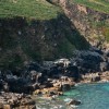
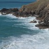
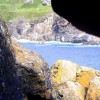
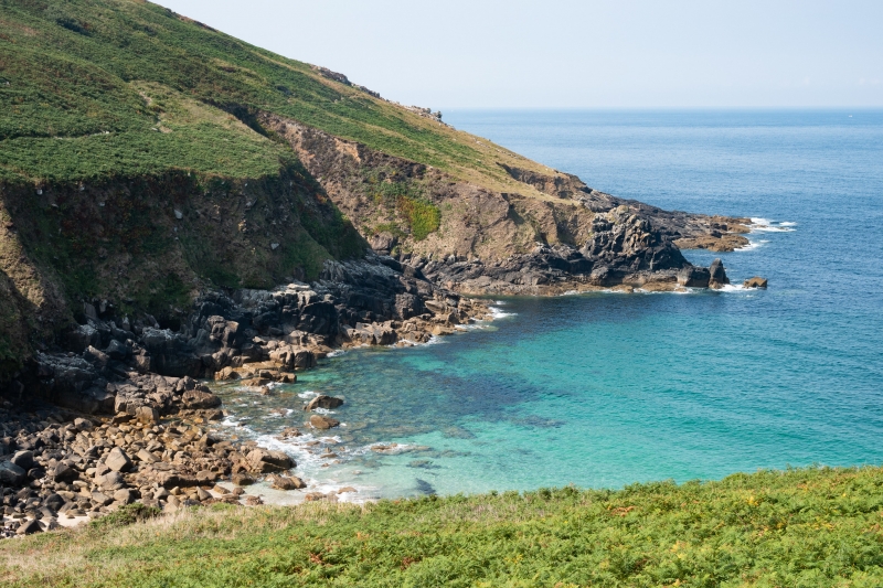
Porthmeor Cove is a small, sheltered cove located halfway between Morvah and Zennor on the South West Coast Path. The cove comprises a combination of sand, pebbles, and rocks, making it a unique and interesting spot. To access the cove, visitors can park at Carn Galver engine houses and walk east for approximately one and a half kilometers, navigating steep slopes and narrow paths.
Porthmeor Cove is recognised as one of Cornwall's most important geological destinations and has been designated as a Site of Special Scientific Interest (SSSI). The cove's geological features make it a haven for geologists and those interested in the region's natural history.
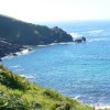
The cove can be reached by walking along the South West Coast Path, offering spectacular seascapes and views. However, visitors should be aware of the steep slopes and narrow paths leading down to the cove, which may present challenges for some.
It is worth noting that there is another cove, Portheras Cove, located on the north coast of the Land's End Peninsula in Cornwall. While both coves are secluded and picturesque, Portheras Cove is known for its unspoilt beauty, tranquil environment, and opportunities to see seals. However, it lacks facilities, and visitors should exercise caution when swimming due to strong rip currents.
Porthmeor Cove is on the Penwith Heritage Coast, and adjacent to the South West Coast Path.
Cove Sand
| Today |  |
|---|---|
| Chance of rain | 15% |
| Max temperature | 13°C |
| feels like | 11°C |
| Wind 32mph |  |
| Max UV Index |  |
| Tonight |  |
|---|---|
| Chance of rain | 100% |
| Min temperature | 12°C |
| feels like | 9°C |
| Wind 25mph |  |
The tide at Porthmeor Cove is currently rising. High tide will be at approximately 4:45 PM, and the next low tide will be at approximately 11:28 PM.
Detailed weather and tides »Nearest parking at the Gurnard’s Head pub - there are a few places to park by the roadside.
No lifeguard cover at this beach

Water quality not measured here
just over a mile northeast as the seagull flies, just over a mile by road.
around 2 miles northeast as the seagull flies, around 3 miles by road.
around 3 miles west-southwest as the seagull flies, around 4 miles by road.
around 5 miles southeast as the seagull flies, around 6 miles by road.
around 5 miles southwest as the seagull flies, around 9 miles by road or 7 miles on foot using coastal paths.
around 5 miles southeast as the seagull flies, around 6 miles by road.
around 6 miles southeast as the seagull flies, around 7 miles by road.
around 6 miles south-southeast as the seagull flies, around 10 miles by road or 7 miles on foot using coastal paths.
around 6 miles southwest as the seagull flies, around 10 miles by road.
around 6 miles southwest as the seagull flies, around 9 miles by road.
around 6 miles east-northeast as the seagull flies, around 8 miles by road.
around 6 miles east-northeast as the seagull flies, around 7 miles by road.
around 6 miles east-northeast as the seagull flies, around 7 miles by road.
around 6 miles east as the seagull flies, around 9 miles by road.
around 7 miles southeast as the seagull flies, around 9 miles by road.
around 7 miles southeast as the seagull flies, around 9 miles by road.
around 7 miles east as the seagull flies, around 9 miles by road.
around 7 miles south-southwest as the seagull flies, around 12 miles by road.
around 7 miles south-southeast as the seagull flies, around 12 miles by road or 9 miles on foot using coastal paths.
around 8 miles south-southwest as the seagull flies, around 13 miles by road.
Location: Treen
Location type: Rural
Nearest village: Higher Bojewyan
OS Grid: SW425374
Coordinates: 50°10'52"N 5°36'27"W
Mapcode: GBR DXJ6.J7Y
What 3 Words: fishery.warthog.movies
Coordinates and location codes are for an approximate mid-point of the beach, and may not reflect the best access point or the most popular part of the beach.
Country: England
Local Authority: Cornwall
Parish: Zennor
Nearest postcode: TR20 8YX
(for sat-nav purposes only, a beach does not have a postal address!)
Important! Beach information is compiled from a variety of different sources and is correct to the best of our knowledge at the time of compilation. However, information may be incorrectly supplied by our sources or go out of date after publication. BritishBeaches.uk makes no warranty as to the accuracy of any information on this page.