Approximate Location Map
Use two fingers to pan or zoom the map
Use two fingers to pan or zoom the map
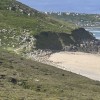
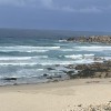
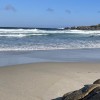
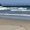
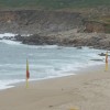
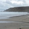
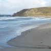
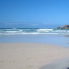
Gwynver Beach, also referred to as Gwenver beach, is situated at the northern end of Sennen Cove, on the Penwith Heritage Coast. The beach is approximately 100 yards long and has limited access. It is part of Whitesand Bay and is isolated as a separate beach at high tide, but at low tide, the sand stretches south to join Sennen Cove.
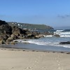
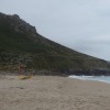
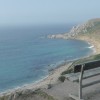
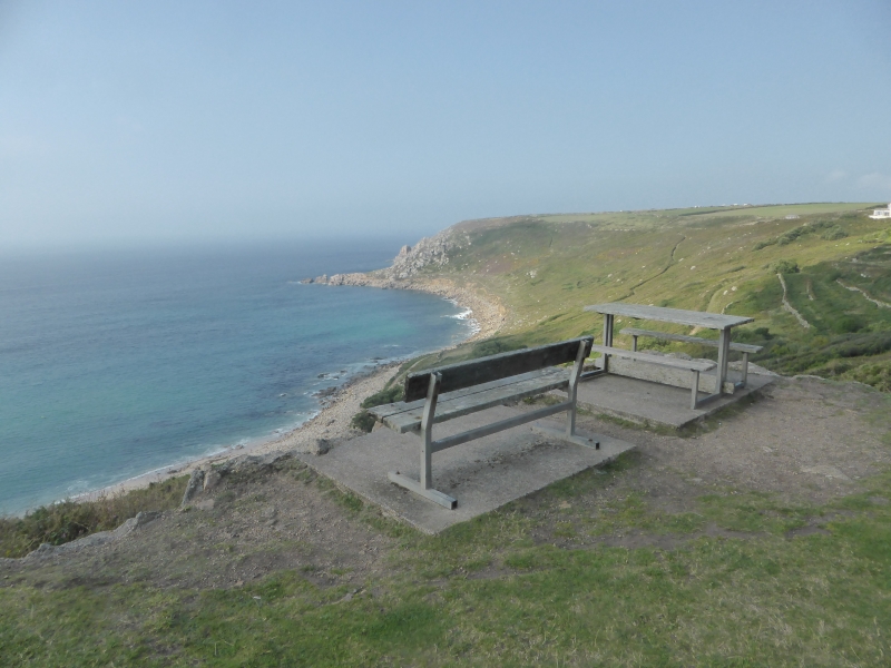
The beach offers stunning views of the Scilly Isles and Brisons rocks off the coast of Cape Cornwall on clear days. It is surrounded by steep granite cliffs, with the right-hand side dominated by the rocky headland of Aire Point, through which the South West Coast Path passes.
Gwynver Beach is renowned for its surfing conditions, attracting experienced locals and visitors. The beach has consistently good waves most of the year, with autumn being particularly noted for big waves, while summer can be flatter, offering opportunities for beginners and intermediates. However, swimmers should be cautious as the beach slopes steeply into the sea at high tide, making it potentially dangerous. RNLI Lifeguards provide cover from 10am to 6pm during the summer months.
There are no cafes or facilities on the beach, so visitors are advised to bring their own picnic. The reasonably priced car park overlooks the beach and offers great views. However, visitors should be prepared for the steep climb down and up, which can take 5-12 minutes depending on fitness.
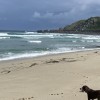
Gwynver Beach is highly dog-friendly, with dogs allowed all year round. The expansive sands provide plenty of space for dogs to run and play, making it popular with dog walkers. However, for families with young children, the beach is less ideal due to the steep access and lack of amenities. Nearby Sennen Cove may be a better option for families, offering easier access and facilities.
Gwynver beach is on the Penwith Heritage Coast, and adjacent to the South West Coast Path.
Sand
| Today |  |
|---|---|
| Chance of rain | 100% |
| Max temperature | 16°C |
| feels like | 17°C |
| Wind 27mph |  |
| Max UV Index |  |
| Tonight |  |
|---|---|
| Chance of rain | 97% |
| Min temperature | 12°C |
| feels like | 13°C |
| Wind 33mph |  |
The tide at Gwynver beach is currently rising. High tide will be at approximately 4:24 PM, and the next low tide will be at approximately 11:01 PM.
Detailed weather and tides »There is a car park just above the beach.
Dogs are allowed.

Daily - 21st May - 25th September

Water quality not measured here
less than a mile south-southwest as the seagull flies, around 2 miles by road or just over a mile on foot using coastal paths.
around 2 miles north-northwest as the seagull flies, around 4 miles by road or 3 miles on foot using coastal paths.
around 2 miles south as the seagull flies, around 6 miles by road or 3 miles on foot using coastal paths.
around 3 miles north-northwest as the seagull flies, around 6 miles by road or 4 miles on foot using coastal paths.
around 3 miles north as the seagull flies, around 6 miles by road or 4 miles on foot using coastal paths.
around 4 miles south-southeast as the seagull flies, around 6 miles by road.
around 4 miles south-southeast as the seagull flies, around 6 miles by road or 5 miles on foot using coastal paths.
around 5 miles north-northeast as the seagull flies, around 9 miles by road or 7 miles on foot using coastal paths.
around 6 miles east-southeast as the seagull flies, around 11 miles by road or 8 miles on foot using coastal paths.
around 7 miles east-northeast as the seagull flies, around 8 miles by road.
around 7 miles east as the seagull flies, around 9 miles by road.
around 7 miles east-northeast as the seagull flies, around 8 miles by road.
around 7 miles north-northeast as the seagull flies, around 12 miles by road.
around 8 miles east-northeast as the seagull flies, around 10 miles by road.
around 8 miles east-northeast as the seagull flies, around 10 miles by road.
around 8 miles north-northeast as the seagull flies, around 13 miles by road.
around 9 miles northeast as the seagull flies, around 15 miles by road.
around 10 miles east-northeast as the seagull flies, around 12 miles by road.
around 10 miles east-northeast as the seagull flies, around 12 miles by road.
around 11 miles east as the seagull flies, around 14 miles by road.
Location: Escalls
Location type: Village
Nearest village: Carn Towan
OS Grid: SW362275
Coordinates: 50°5'21"N 5°41'20"W
Mapcode: GBR DXBF.WFW
What 3 Words: receiving.sideburns.yummy
Coordinates and location codes are for an approximate mid-point of the beach, and may not reflect the best access point or the most popular part of the beach.
Country: England
Local Authority: Cornwall
Parish: St. Just
Nearest postcode: TR19 7BB
(for sat-nav purposes only, a beach does not have a postal address!)
Important! Beach information is compiled from a variety of different sources and is correct to the best of our knowledge at the time of compilation. However, information may be incorrectly supplied by our sources or go out of date after publication. BritishBeaches.uk makes no warranty as to the accuracy of any information on this page.