Approximate Location Map
Use two fingers to pan or zoom the map
Use two fingers to pan or zoom the map
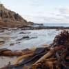
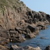
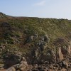
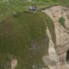
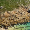
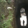
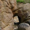
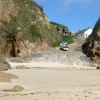
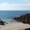
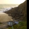
Porthgwarra Beach is a picturesque cove situated southeast of Land's End. The beach is only exposed at times of mid to low tide and is accessed down a steep stone ramp or via a tunnel carved through the cliffs centuries ago.
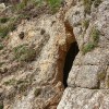
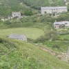
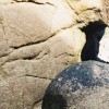
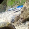
The cove was once a busy fishing village, but now only one boat regularly works crab pots from here. The beach still shows traces of its working past, with a hand-dug tunnel originally carved through the rock by miners offering an unusual entrance to the beach.
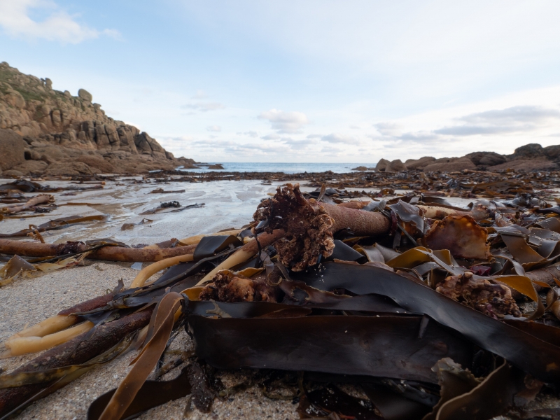
The beach comprises a narrow strip of sand between boulders and granite cliffs. Swimming is possible in calm conditions, especially within the shelter of the cove, but care should be taken due to strong currents further out. At low tide, Porthgwarra reveals a network of rockpools along its edges, ideal for spotting crabs, anemones, and other small sea creatures.
The small Porthgwarra Cove Café is located near the sand, serving hot drinks, Cornish pasties, and cream teas. The stretch of coast is a favourite with birdwatchers and nature lovers, with choughs, seals, and dolphins often spotted. The world-famous Minack Theatre is just over a mile away, and charming holiday cottages are available for those looking for a quiet romantic weekend away.
Dogs are not allowed on the beach between 10am and 6pm from 1st July to 31st August, but outside of these times, it's a lovely spot for dog walkers, with scenic trails nearby.
Porthgwarra gained popularity as one of the key filming locations for the BBC drama Poldark, with fans recognising it as the site where Ross Poldark went for a swim.
Porthgwarra Beach is on the Penwith Heritage Coast, and adjacent to the South West Coast Path.
Cove Sand Rock
| Tonight |  |
|---|---|
| Chance of rain | 43% |
| Min temperature | 11°C |
| feels like | 10°C |
| Wind 22mph |  |
| Tomorrow |
 |
|---|---|
| Chance of rain | 54% |
| Max temperature | 15°C |
| feels like | 11°C |
| Wind 18mph |  |
| Max UV Index |  |
The tide at Porthgwarra Beach is currently falling. Low tide will be at approximately 9:57 PM, and the next high tide will be at approximately 3:42 AM tomorrow.
 Today's air pollution levels are forecast to be Low
 Toilets
 Shops
Shops
Parking available.
Seasonal ban in place between Easter and 1st October.
No lifeguard cover at this beach

Water quality not measured here
just over a mile east-northeast as the seagull flies, around 3 miles by road or just over a mile on foot using coastal paths.
just over a mile northwest as the seagull flies, around 3 miles by road or 2 miles on foot using coastal paths.
around 3 miles north-northwest as the seagull flies, around 5 miles by road.
around 4 miles north-northwest as the seagull flies, around 6 miles by road or 5 miles on foot using coastal paths.
around 5 miles east-northeast as the seagull flies, around 8 miles by road.
around 6 miles north-northwest as the seagull flies, around 9 miles by road.
around 6 miles north-northwest as the seagull flies, around 10 miles by road or 8 miles on foot using coastal paths.
around 7 miles north-northwest as the seagull flies, around 10 miles by road.
around 7 miles east-northeast as the seagull flies, around 10 miles by road.
around 8 miles northeast as the seagull flies, around 10 miles by road.
around 8 miles northeast as the seagull flies, around 11 miles by road.
around 9 miles northeast as the seagull flies, around 12 miles by road.
around 9 miles north as the seagull flies, around 13 miles by road.
around 9 miles northeast as the seagull flies, around 12 miles by road.
around 10 miles north-northeast as the seagull flies, around 16 miles by road.
around 11 miles northeast as the seagull flies, around 14 miles by road.
around 11 miles northeast as the seagull flies, around 14 miles by road.
around 11 miles north-northeast as the seagull flies, around 18 miles by road.
around 11 miles east-northeast as the seagull flies, around 17 miles by road.
around 12 miles north-northeast as the seagull flies, around 19 miles by road.
Location: Porthgwarra
Location type: Village
Nearest village: St Levan
OS Grid: SW371216
Coordinates: 50°2'12"N 5°40'19"W
Mapcode: GBR DXCL.BP1
What 3 Words: beeline.inflame.swoop
Coordinates and location codes are for an approximate mid-point of the beach, and may not reflect the best access point or the most popular part of the beach.
Country: England
Local Authority: Cornwall
Parish: St. Levan
Nearest postcode: TR19 6JR
(for sat-nav purposes only, a beach does not have a postal address!)
Important! Beach information is compiled from a variety of different sources and is correct to the best of our knowledge at the time of compilation. However, information may be incorrectly supplied by our sources or go out of date after publication. BritishBeaches.uk makes no warranty as to the accuracy of any information on this page.