Approximate Location Map
Use two fingers to pan or zoom the map
Use two fingers to pan or zoom the map
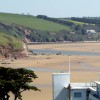
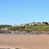
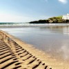
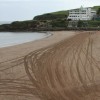
Burgh Island, once a famous pirate haunt, lies adjacent to Sedgewell Cove and features two beaches that are only exposed at low water. The island is privately owned and has a long history, having been a haunt for pirates and smugglers in the past. In more recent times, it has become renowned for its connection to the famous author Agatha Christie, who often stayed at the Burgh Island Hotel and used the island as inspiration for two of her novels.
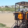
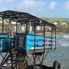
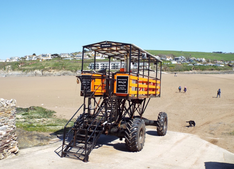
The island's beaches are accessible on foot at low tide, but at high tide, visitors can use the Sea Tractor, owned by the hotel, to reach the island. The Sea Tractor allows riders to travel over the water safely and dryly, even at the highest of tides. The island has multiple paths and walkways that are open to the public, covering its 26 acres.
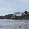
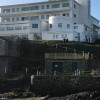
The island is home to the 1920s Art Deco Burgh Island Hotel, which offers luxurious accommodation and facilities to its guests. The hotel's owners also operate a pub on the island, known as the Pilchard Inn, which provides refreshments to visitors. The island offers a range of activities, including surfing, paddle boarding, windsurfing, and kitesurfing, with one of Devon’s most well-known surf schools located on the beach. The Mermaid Pool, a natural seawater pool surrounded by stunning rock formations, is another popular attraction.
Burgh Island has a glamorous following, dating back to the 1920s, and has been a popular destination for celebrities and writers, including Agatha Christie. The island's connection to Christie is well-documented, with the author having called the Burgh Island Hotel her 'second home'.
The Murray rocks, located east of the island, are popular with scuba divers, while the island's coastal walks offer stunning views and opportunities to explore the surrounding coastline.
Burgh Island Beach is on the South Devon Heritage Coast.
Sand
| Tonight |  |
|---|---|
| Chance of rain | 100% |
| Min temperature | 14°C |
| feels like | 13°C |
| Wind 30mph |  |
| Tomorrow |
 |
|---|---|
| Chance of rain | 45% |
| Max temperature | 14°C |
| feels like | 17°C |
| Wind 22mph |  |
| Max UV Index |  |
The tide at Burgh Island Beach is currently falling. Low tide will be at approximately 1:10 AM tomorrow, and the next high tide will be at approximately 7:20 AM tomorrow.
Detailed weather and tides »Large car park available at Bigbury-on-Sea.
No lifeguard cover at this beach

Water quality not measured here
less than a mile northeast as the seagull flies, less than a mile by road.
less than a mile east-northeast as the seagull flies, less than a mile by road.
less than a mile north as the seagull flies, around 3 miles by road or less than a mile on foot using coastal paths.
less than a mile east-northeast as the seagull flies, less than a mile by road.
around 3 miles northwest as the seagull flies, around 14 miles by road or 6 miles on foot using coastal paths.
around 3 miles northwest as the seagull flies, around 14 miles by road or 5 miles on foot using coastal paths.
around 3 miles northwest as the seagull flies, around 14 miles by road or 6 miles on foot using coastal paths.
around 5 miles west-northwest as the seagull flies, around 17 miles by road or 11 miles on foot using coastal paths.
around 11 miles west-northwest as the seagull flies, around 19 miles by road or 15 miles on foot using coastal paths.
around 25 miles northeast as the seagull flies, around 33 miles by road.
around 25 miles northeast as the seagull flies, around 37 miles by road.
around 28 miles northeast as the seagull flies, around 40 miles by road.
around 28 miles northeast as the seagull flies, around 40 miles by road.
around 30 miles northeast as the seagull flies, around 42 miles by road.
less than a mile east-southeast as the seagull flies, around 9 miles by road or 2 miles on foot using coastal paths.
around 2 miles southeast as the seagull flies, around 10 miles by road or 3 miles on foot using coastal paths.
around 2 miles southeast as the seagull flies, around 10 miles by road or 3 miles on foot using coastal paths.
around 2 miles southeast as the seagull flies, around 10 miles by road or 4 miles on foot using coastal paths.
around 3 miles southeast as the seagull flies, around 12 miles by road or 5 miles on foot using coastal paths.
around 3 miles south-southeast as the seagull flies, around 12 miles by road or 5 miles on foot using coastal paths.
Location: Bigbury-on-Sea
Location type: Village
OS Grid: SX648440
Coordinates: 50°16'51"N 3°53'53"W
Mapcode: GBR Q9.CSHP
What 3 Words: enthused.warrior.mouse
Coordinates and location codes are for an approximate mid-point of the beach, and may not reflect the best access point or the most popular part of the beach.
County: Devon
Country: England
Local Authority: South Hams
Parish: Bigbury
Nearest postcode: TQ7 4BG
(for sat-nav purposes only, a beach does not have a postal address!)
Important! Beach information is compiled from a variety of different sources and is correct to the best of our knowledge at the time of compilation. However, information may be incorrectly supplied by our sources or go out of date after publication. BritishBeaches.uk makes no warranty as to the accuracy of any information on this page.