Approximate Location Map
Use two fingers to pan or zoom the map
Use two fingers to pan or zoom the map
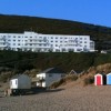
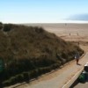
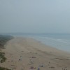
Saunton Sands is a vast, straight, and golden sandy beach, approximately four kilometres wide, backed by one of the most unique and impressive dune systems in the country. The beach is bounded to the south by the combined estuaries of the rivers Taw and Torridge. It is a west-facing beach, popular with families, surfers, and longboarders.
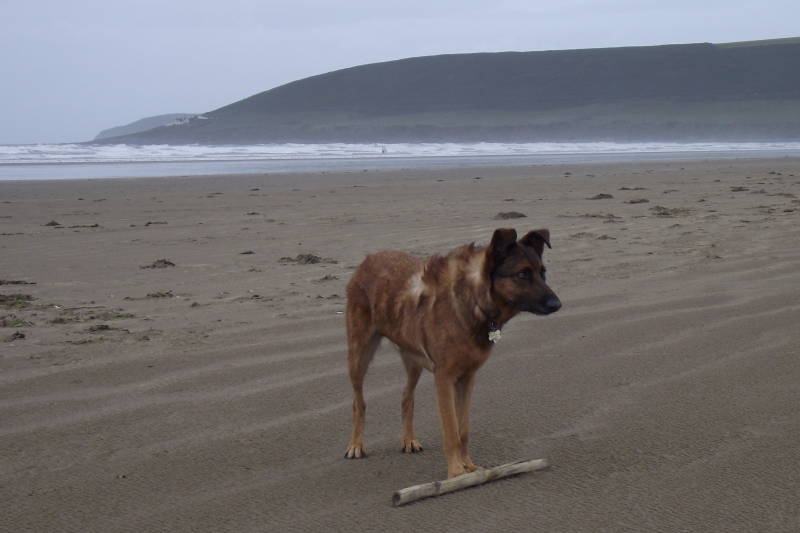
The beach offers a range of amenities, including cafes, restaurants, surf hire shops, and lessons. Golf lovers can play at Saunton Golf Club's two Championship golf courses, which overlook the beach. The beach is dog-friendly all year round. However, it's worth noting that no kite buggying or sand yachts are permitted on the beach.
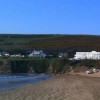
The beach is situated below the famous Sands Hotel and offers wide open spaces. Its unique geography, with the Taw/Torridge Estuary entering the sea at the southern end, makes it a popular spot for surfers and families alike.
Saunton Sands is on the North Devon Heritage Coast, and adjacent to the South West Coast Path.
Sand
| Today |  |
|---|---|
| Chance of rain | 84% |
| Max temperature | 14°C |
| feels like | 14°C |
| Wind 24mph |  |
| Max UV Index |  |
| Tonight |  |
|---|---|
| Chance of rain | 38% |
| Min temperature | 12°C |
| feels like | 13°C |
| Wind 21mph |  |
The tide at Saunton Sands is currently falling. Low tide will be at approximately 11:36 PM, and the next high tide will be at approximately 5:01 AM tomorrow.
 Today's air pollution levels are forecast to be Low
 Food available
 Toilets
 Shops
Shops
There is a car park near the beach. There is a charge.
Dogs are allowed but must be kept on a lead until they get to Zone C (there is a sign which makes it clear).
No lifeguard cover at this beach


Water quality not measured here
around 2 miles north-northwest as the seagull flies, around 6 miles by road or 3 miles on foot using coastal paths.
around 3 miles north as the seagull flies, around 8 miles by road or 4 miles on foot using coastal paths.
around 4 miles south-southeast as the seagull flies, around 15 miles by road.
around 5 miles north as the seagull flies, around 14 miles by road or 6 miles on foot using coastal paths.
around 5 miles north as the seagull flies, around 14 miles by road or 6 miles on foot using coastal paths.
around 6 miles north as the seagull flies, around 14 miles by road or 7 miles on foot using coastal paths.
around 8 miles north-northeast as the seagull flies, around 12 miles by road.
around 9 miles north-northeast as the seagull flies, around 12 miles by road.
around 9 miles northeast as the seagull flies, around 14 miles by road.
around 11 miles southwest as the seagull flies, around 30 miles by road.
around 11 miles northeast as the seagull flies, around 18 miles by road or 14 miles on foot using coastal paths.
around 13 miles west-southwest as the seagull flies, around 34 miles by road.
around 15 miles west-southwest as the seagull flies, around 34 miles by road.
around 17 miles east-northeast as the seagull flies, around 26 miles by road.
around 18 miles east-northeast as the seagull flies, around 28 miles by road.
around 18 miles southwest as the seagull flies, around 37 miles by road.
around 19 miles east-northeast as the seagull flies, around 27 miles by road.
around 22 miles southwest as the seagull flies, around 41 miles by road.
around 23 miles southwest as the seagull flies, around 43 miles by road.
around 24 miles southwest as the seagull flies, around 43 miles by road.
Location: Saunton
Location type: Rural
OS Grid: SS442363
Coordinates: 51°6'19"N 4°13'32"W
Mapcode: GBR KH.BRB6
What 3 Words: archive.superbly.theory
Coordinates and location codes are for an approximate mid-point of the beach, and may not reflect the best access point or the most popular part of the beach.
County: Devon
Country: England
Local Authority: North Devon
Parish: Braunton
Nearest postcode: EX33 1LQ
(for sat-nav purposes only, a beach does not have a postal address!)
Important! Beach information is compiled from a variety of different sources and is correct to the best of our knowledge at the time of compilation. However, information may be incorrectly supplied by our sources or go out of date after publication. BritishBeaches.uk makes no warranty as to the accuracy of any information on this page.