Approximate Location Map
Use two fingers to pan or zoom the map
Use two fingers to pan or zoom the map
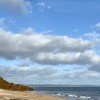
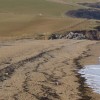
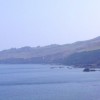
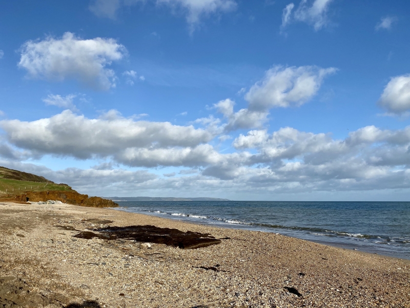
Hallsands is part of a long shingle beach that connects with Beesands and is situated in a very quiet rural location. The beach is east-facing and forms the southerly end of a long string of shingle beaches that stretch for approximately 6 miles to Strete. On low tides, it is possible to walk to neighbouring Beesands and beyond, although caution is advised to avoid getting cut off by the incoming tide.
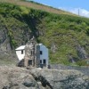
The beach is adjacent to an historic ruined village that was once home to over 100 people, with a number of shops and a pub. However, the village suffered significant damage in 1917 due to a combination of an easterly gale and an exceptionally high tide, which was exacerbated by the Royal Navy's dredging of the shingle that had protected the village. The villagers fought for seven years to secure compensation for the damage. Unfortunately, the village has again been exposed to the elements due to the erosion of the shingle caused by storms.
The area offers nearby freshwater fishing opportunities for those interested in pursuing this activity.
Hallsands is on the South Devon Heritage Coast, and adjacent to the South West Coast Path.
Shingle
| Today |  |
|---|---|
| Chance of rain | 100% |
| Max temperature | 16°C |
| feels like | 17°C |
| Wind 26mph |  |
| Max UV Index |  |
| Tonight |  |
|---|---|
| Chance of rain | 100% |
| Min temperature | 14°C |
| feels like | 12°C |
| Wind 31mph |  |
The tide at Hallsands is currently rising. High tide will be at approximately 6:53 PM, and the next low tide will be at approximately 1:04 AM tomorrow.
Detailed weather and tides »There is a car park near the beach.
Dogs are allowed
No lifeguard cover at this beach

Water quality not measured here
just over a mile north as the seagull flies, around 3 miles by road or just over a mile on foot using coastal paths.
just over a mile south as the seagull flies, around 2 miles by road or just over a mile on foot using coastal paths.
around 2 miles north as the seagull flies, around 4 miles by road or 2 miles on foot using coastal paths.
around 4 miles north as the seagull flies, around 7 miles by road or 4 miles on foot using coastal paths.
around 4 miles west-southwest as the seagull flies, around 5 miles by road.
around 4 miles west-southwest as the seagull flies, around 5 miles by road.
around 4 miles north-northeast as the seagull flies, around 7 miles by road or 5 miles on foot using coastal paths.
around 5 miles west as the seagull flies, around 7 miles by road.
around 6 miles north-northeast as the seagull flies, around 10 miles by road or 7 miles on foot using coastal paths.
around 7 miles north-northeast as the seagull flies, around 11 miles by road or 8 miles on foot using coastal paths.
around 8 miles north-northeast as the seagull flies, around 13 miles by road or 10 miles on foot using coastal paths.
around 10 miles west-northwest as the seagull flies, around 14 miles by road.
around 10 miles west-northwest as the seagull flies, around 14 miles by road.
around 14 miles west-northwest as the seagull flies, around 24 miles by road or 17 miles on foot using coastal paths.
around 14 miles west-northwest as the seagull flies, around 24 miles by road or 17 miles on foot using coastal paths.
around 14 miles west-northwest as the seagull flies, around 24 miles by road or 17 miles on foot using coastal paths.
around 16 miles west-northwest as the seagull flies, around 27 miles by road.
around 22 miles west-northwest as the seagull flies, around 29 miles by road.
around 5 miles west as the seagull flies, around 16 miles by road or 7 miles on foot using coastal paths.
around 6 miles west as the seagull flies, around 14 miles by road or 7 miles on foot using coastal paths.
Location: Hallsands
Location type: Village
OS Grid: SX817387
Coordinates: 50°14'12"N 3°39'31"W
Mapcode: GBR QP.DMNY
What 3 Words: screeches.jungle.chopper
Coordinates and location codes are for an approximate mid-point of the beach, and may not reflect the best access point or the most popular part of the beach.
County: Devon
Country: England
Local Authority: South Hams
Parish: Stokenham
Nearest postcode: TQ7 2EY
(for sat-nav purposes only, a beach does not have a postal address!)
Important! Beach information is compiled from a variety of different sources and is correct to the best of our knowledge at the time of compilation. However, information may be incorrectly supplied by our sources or go out of date after publication. BritishBeaches.uk makes no warranty as to the accuracy of any information on this page.