Approximate Location Map
Use two fingers to pan or zoom the map
Use two fingers to pan or zoom the map
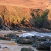
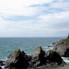
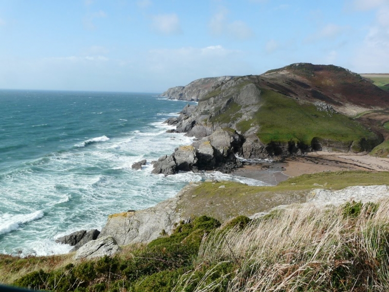
Soar Mill Cove is a small cove with a fine sandy beach surrounded by steep cliffs and numerous rockpools to explore. The cove can be accessed on foot via the coastal path, by using the nearby hotel's access, or by boat.
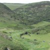
The cove is situated near Salcombe and is surrounded by dramatic rocks and cliffs, as well as the craggy heath of Bolt Head. To the back of the cove are the gentle, rolling green hills of the South Hams.
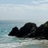
When the tide recedes, a small area of pristine, golden sand is exposed, providing a perfect spot for building sand castles or sunbathing. A stream runs down the centre of the beach as it shelves gently into the sea.
The cove is home to a variety of wildlife, including crabs, anemones, ravens, shags, kestrels, and peregrine falcons. Visitors can also enjoy exploring the rockpools at low tide, and the cove is a popular spot for canoes and small boats sailing from Salcombe.
There is no road access directly to the beach, and visitors can reach Soar Mill Cove by taking the South West Coast Path from Salcombe or by taking the steep path from The Soar Mill Cove Hotel. There are some parking spaces at the hotel, and dog-friendly access is available all year round. However, there are no facilities on the beach, and phone signal is unlikely to be available.
Soar Mill Cove is on the South Devon Heritage Coast, and adjacent to the South West Coast Path.
Sand Rock
| Today |  |
|---|---|
| Chance of rain | 31% |
| Max temperature | 14°C |
| feels like | 12°C |
| Wind 27mph |  |
| Max UV Index |  |
| Tonight |  |
|---|---|
| Chance of rain | 92% |
| Min temperature | 12°C |
| feels like | 9°C |
| Wind 18mph |  |
The tide at Soar Mill Cove is currently rising. High tide will be at approximately 6:18 PM, and the next low tide will be at approximately 12:30 AM tomorrow.
Detailed weather and tides »Parking is some distance away at either Soar or Bolberry.
Dogs are allowed.
No lifeguard cover at this beach

Water quality not measured here
around 2 miles northwest as the seagull flies, around 3 miles by road.
around 2 miles east as the seagull flies, around 2 miles by road.
around 2 miles east-northeast as the seagull flies, around 3 miles by road.
around 2 miles northwest as the seagull flies, around 4 miles by road or 3 miles on foot using coastal paths.
around 3 miles north-northwest as the seagull flies, around 4 miles by road.
around 3 miles north-northwest as the seagull flies, around 7 miles by road or 4 miles on foot using coastal paths.
around 4 miles north-northwest as the seagull flies, around 7 miles by road or 5 miles on foot using coastal paths.
around 4 miles north-northwest as the seagull flies, around 7 miles by road.
around 12 miles northeast as the seagull flies, around 20 miles by road or 16 miles on foot using coastal paths.
around 12 miles northeast as the seagull flies, around 20 miles by road.
around 14 miles northeast as the seagull flies, around 21 miles by road.
around 3 miles east as the seagull flies, around 15 miles by road or 5 miles on foot using coastal paths.
around 4 miles east as the seagull flies, around 14 miles by road or 6 miles on foot using coastal paths.
around 4 miles east-southeast as the seagull flies, around 15 miles by road or 8 miles on foot using coastal paths.
around 5 miles north-northwest as the seagull flies, around 11 miles by road or 7 miles on foot using coastal paths.
around 5 miles northwest as the seagull flies, around 11 miles by road or 7 miles on foot using coastal paths.
around 5 miles northwest as the seagull flies, around 12 miles by road or 8 miles on foot using coastal paths.
around 5 miles northwest as the seagull flies, around 12 miles by road or 7 miles on foot using coastal paths.
around 5 miles northwest as the seagull flies, around 12 miles by road or 8 miles on foot using coastal paths.
around 7 miles east as the seagull flies, around 15 miles by road or 11 miles on foot using coastal paths.
Location: Bolberry
Location type: Rural
Nearest village: Malborough
OS Grid: SX697374
Coordinates: 50°13'23"N 3°49'38"W
Mapcode: GBR QF.2DJY
What 3 Words: makeup.node.practical
Coordinates and location codes are for an approximate mid-point of the beach, and may not reflect the best access point or the most popular part of the beach.
County: Devon
Country: England
Local Authority: South Hams
Parish: Malborough
Nearest postcode: TQ7 3HX
(for sat-nav purposes only, a beach does not have a postal address!)
Important! Beach information is compiled from a variety of different sources and is correct to the best of our knowledge at the time of compilation. However, information may be incorrectly supplied by our sources or go out of date after publication. BritishBeaches.uk makes no warranty as to the accuracy of any information on this page.